State Park · Montana
Clark's Lookout State Park
- Location
- Beaverhead County, Montana
- Nearest town
- 1.4 miles north of Dillon
- Type
- State Park
About Clark's Lookout State Park
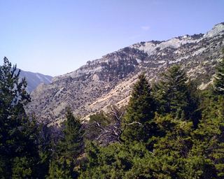
Eight acres cover the rise above the Beaverhead River that William Clark ascended on August 13, 1805, pausing to take compass bearings and sketch the valley below. Visitors can follow his route to the same overlook and take in the river valley from that point. Picnic areas and interpretive signs are set along the way, giving context to what Clark recorded there.
Hours, fees, camping, reservations and closures are set by the park and change often. Check the official park site before you go.
Getting there
Clark's Lookout State Park is in Beaverhead County, Montana, 1.4 miles north of Dillon. The Directions button takes you to the park's mapped location; the entrance may be elsewhere, so check the official site for the address to use.
State parks near Clark's Lookout State Park
Within 60 miles, closest first, straight-line. All 44 in Montana →
Facts from Wikidata, checked September 25, 2026. Distances are straight-line.