State Park · Montana
Medicine Rocks State Park
- Location
- Carter County, Montana
- Nearest town
- 11.4 miles north of Ekalaka
- Type
- State Park
About Medicine Rocks State Park
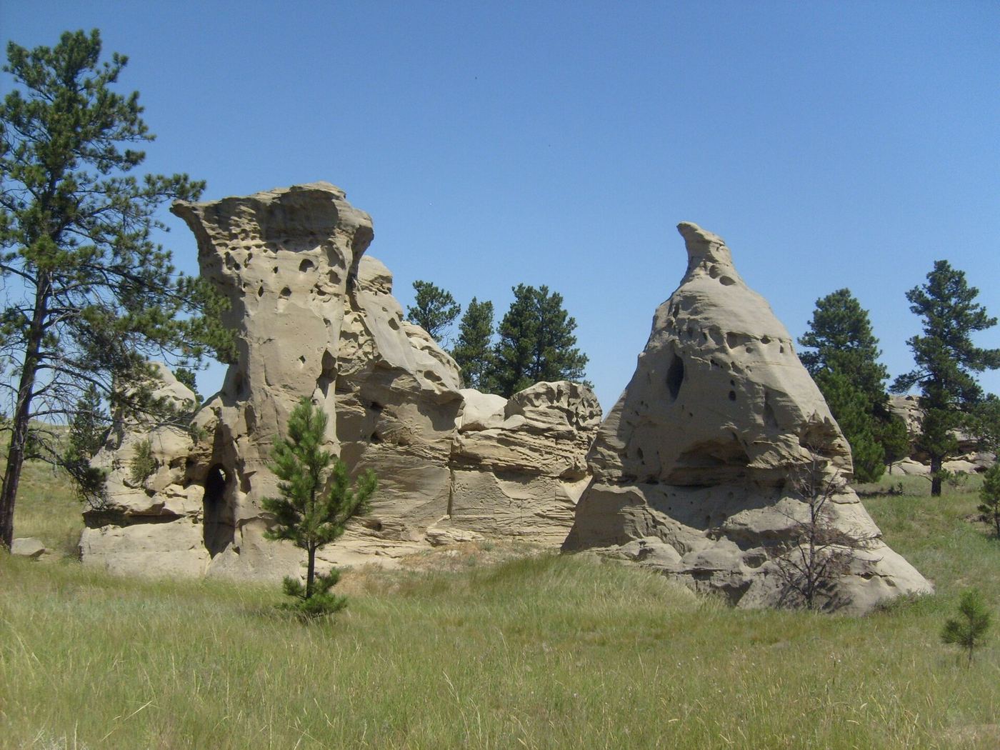
Sandstone pillars rising 60 to 80 feet, pocked with holes, tunnels, and undulating hollows carved into the rock, give the park its name and mark the land as a longstanding sacred site for Plains Indian tribes, whose rock art still marks the formations. Theodore Roosevelt, working nearby as a young rancher, called the place among the most fantastically beautiful he had seen. The 330-acre park sits at 3,379 feet in elevation, gained National Register of Historic Places listing in 2017, and was certified as an International Dark Sky Sanctuary in 2020.
Hours, fees, camping, reservations and closures are set by the park and change often. Check the official park site before you go.
Getting there
Medicine Rocks State Park is in Carter County, Montana, 11.4 miles north of Ekalaka. The Directions button takes you to the park's mapped location; the entrance may be elsewhere, so check the official site for the address to use.
Facts from Wikidata, checked September 25, 2026. Distances are straight-line.