State Park · Utah
Kodachrome Basin State Park
- Location
- Kane County, Utah
- Nearest town
- 32.6 miles southeast of Panguitch
- Type
- State Park
About Kodachrome Basin State Park
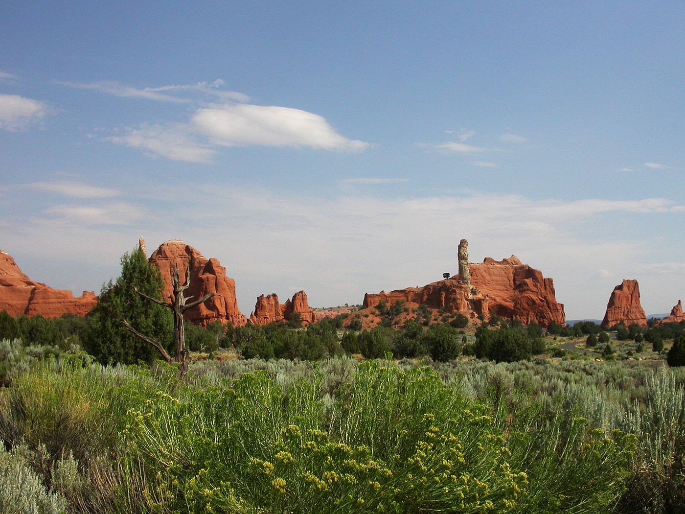
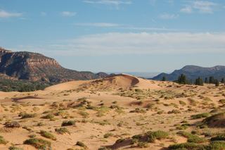
Sixty-seven sandstone spires and chimneys rise across this basin, sitting at 5,800 feet above sea level. The park lies south of Utah Route 12 and can be reached from Cannonville on a paved road, or from the south on Road 400, a dirt route from the Page, Arizona area that is passable for most vehicles when dry. A paved alternative from the south runs through Tropic via US-89 and SR-12.
Hours, fees, camping, reservations and closures are set by the park and change often. Check the official park site before you go.
Getting there
Kodachrome Basin State Park is in Kane County, Utah, 32.6 miles southeast of Panguitch. The Directions button takes you to the park's mapped location; the entrance may be elsewhere, so check the official site for the address to use.
State parks near Kodachrome Basin State Park
Within 60 miles, closest first, straight-line. All 46 in Utah →
 Escalante Petrified Forest State ParkState Park · Garfield County, UT28 miNE
 Anasazi State Park MuseumState Park · Garfield County, UT42 miNE
 Otter Creek State ParkState Park · Piute County, UT46 miN
 Coral Pink Sand Dunes State ParkState Park · Kane County, UT51 miSW
- Piute State ParkState Park · Piute County, UT57 miN
Facts from Wikidata, checked September 25, 2026. Distances are straight-line.