State Park · Arkansas
Lake Chicot State Park
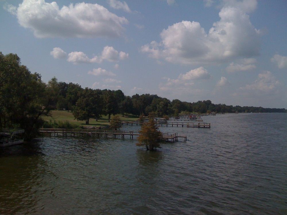
- Location
- Chicot County, Arkansas
- Nearest town
- 5.7 miles northeast of Lake Village
- Type
- State Park
About Lake Chicot State Park
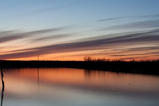
Cypress trees rise directly from the water along Lake Chicot, a 22-mile oxbow lake that once carried the main channel of the Mississippi River and now ranks as the largest natural lake in Arkansas and the largest oxbow lake in the country. The 211.6-acre park sits on its shore in the Arkansas Delta, offering fishing and camping in this bayou setting. The lake itself was once polluted, and its current condition reflects a restoration effort carried out by multiple agencies working to recover its natural, cultural, and recreational value.
Hours, fees, camping, reservations and closures are set by the park and change often. Check the official park site before you go.
Getting there
Lake Chicot State Park is in Chicot County, Arkansas, 5.7 miles northeast of Lake Village. The Directions button takes you to the park's mapped location; the entrance may be elsewhere, so check the official site for the address to use.
State parks near Lake Chicot State Park
Within 60 miles, closest first, straight-line. All 41 in Arkansas →
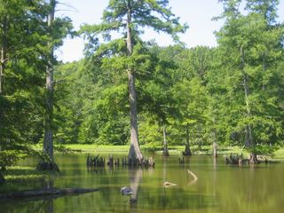 Leroy Percy State ParkState Park · Washington County, MS21 miSE
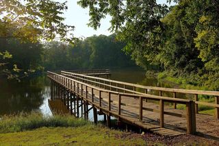 Great River Road State ParkState Park · Bolivar County, MS34 miN
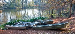 Chemin-A-Haut State ParkState Park · Morehouse Parish, LA49 miSW
 Cane Creek State ParkState Park · Lincoln County, AR50 miNW
- Florewood State ParkState Park · Leflore County, MS56 miE
Towns near Lake Chicot State Park
Facts from Wikidata, checked September 25, 2026. Distances are straight-line.