State Park · Louisiana
Poverty Point Reservoir State Park
- Location
- Richland Parish, Louisiana
- Nearest town
- 1.7 miles north of Delhi
- Type
- State Park
About Poverty Point Reservoir State Park
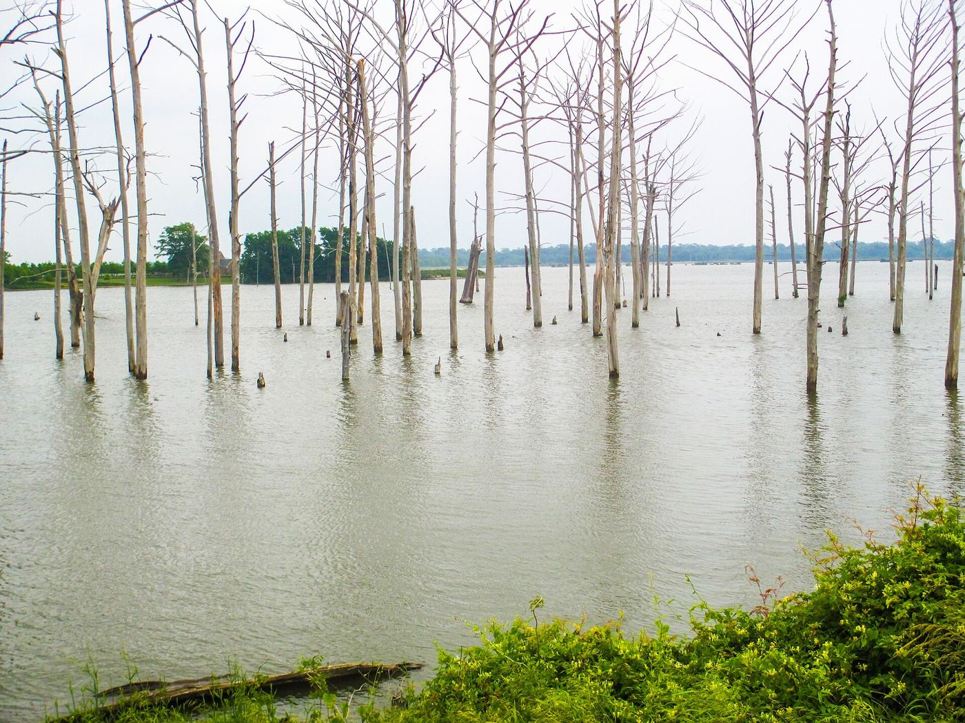
A 2,700-acre man-made reservoir forms the center of this park, and its name comes from the nearby Poverty Point earthworks, a Native American site settled between 1,400 and 700 BC. The water supports swimming, watersports, and fishing, with hiking trails on land. Overnight stays are available in eight deluxe cabins, four standard cabins, and fifty-four campsites.
Hours, fees, camping, reservations and closures are set by the park and change often. Check the official park site before you go.
Getting there
Poverty Point Reservoir State Park is in Richland Parish, Louisiana, 1.7 miles north of Delhi. The Directions button takes you to the park's mapped location; the entrance may be elsewhere, so check the official site for the address to use.
State parks near Poverty Point Reservoir State Park
Within 60 miles, closest first, straight-line. All 26 in Louisiana →

Towns near Poverty Point Reservoir State Park
State parks near Bastrop, State parks near Monroe, State parks near Vicksburg
Facts from Wikidata, checked September 25, 2026. Distances are straight-line.