State Park · New York
John Boyd Thacher State Park
- Location
- Albany County, New York
- Nearest town
- 3.2 miles south of Altamont
- Type
- State Park
About John Boyd Thacher State Park
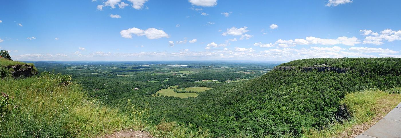
Fifteen miles southwest of Albany, most of this park sits on top of the Helderberg Escarpment, a limestone cliff line. Trails running along this high ground look out over the Green Mountains of Vermont and the Taconic range on the other side of the Hudson Valley. The park's position on the escarpment is what puts these two mountain ranges within view at once.
Hours, fees, camping, reservations and closures are set by the park and change often. Check the official park site before you go.
Getting there
John Boyd Thacher State Park is in Albany County, New York, 3.2 miles south of Altamont. The Directions button takes you to the park's mapped location; the entrance may be elsewhere, so check the official site for the address to use.
State parks near John Boyd Thacher State Park
Within 60 miles, closest first, straight-line. All 167 in New York →
- Thompson's Lake State ParkState Park · Albany County, NY1.5 miW
- Mohawk River State ParkState Park · Schenectady County, NY13 miNE
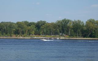 Schodack Island State ParkState Park · Rensselaer County, NY17 miSE
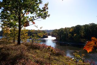 Peebles Island State ParkState Park · Saratoga County, NY19 miNE
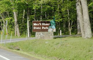 Max V. Shaul State ParkState Park · Schoharie County, NY21 miW
- Hudson River Islands State ParkState Park · Columbia County, NY26 miSE
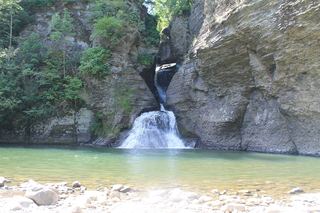 Mine Kill State ParkState Park · Schoharie County, NY27 miSW
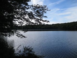 Grafton Lakes State ParkState Park · Rensselaer County, NY29 miE
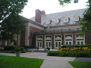 Saratoga Spa State ParkState Park · Saratoga County, NY29 miN
Towns near John Boyd Thacher State Park
State parks near Albany, State parks near Glenville, State parks near Saratoga Springs, State parks near Gloversville, State parks near Pittsfield, State parks near North Adams
Facts from Wikidata, checked September 25, 2026. Distances are straight-line.