State Park · New York
Max V. Shaul State Park
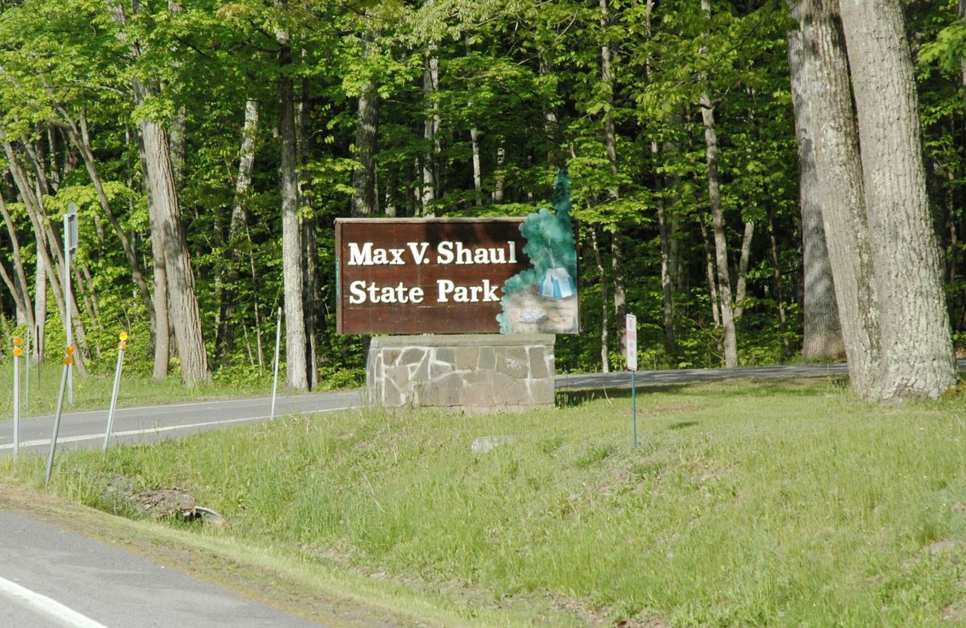
- Location
- Schoharie County, New York
- Nearest town
- 5.3 miles southwest of Middleburgh
- Type
- State Park
About Max V. Shaul State Park
The Schoharie Valley setting places this 70-acre park between the hamlets of Breakabeen and Fultonham, in the Town of Fulton. Vroman's Nose is visible from the grounds, giving the small tract a backdrop of the surrounding valley terrain.
Hours, fees, camping, reservations and closures are set by the park and change often. Check the official park site before you go.
Getting there
Max V. Shaul State Park is in Schoharie County, New York, 5.3 miles southwest of Middleburgh. The Directions button takes you to the park's mapped location; the entrance may be elsewhere, so check the official site for the address to use.
State parks near Max V. Shaul State Park
Within 60 miles, closest first, straight-line. All 167 in New York →
 Mine Kill State ParkState Park · Schoharie County, NY8.2 miS
- Thompson's Lake State ParkState Park · Albany County, NY20 miE
 John Boyd Thacher State ParkState Park · Albany County, NY21 miE
- Betty and Wilbur Davis State ParkState Park · Otsego County, NY23 miW
- Robert V. Riddell State ParkState Park · Otsego County, NY28 miW
 Glimmerglass State ParkState Park · Otsego County, NY29 miNW
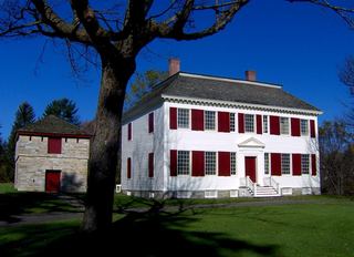 Johnson Hall State Historic SiteState Historic Site · Fulton County, NY32 miN
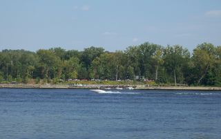 Schodack Island State ParkState Park · Rensselaer County, NY32 miE
- Mohawk River State ParkState Park · Schenectady County, NY33 miNE
Towns near Max V. Shaul State Park
State parks near Glenville, State parks near Oneonta, State parks near Albany, State parks near Gloversville, State parks near Kingston, State parks near Saratoga Springs
Facts from Wikidata, checked September 25, 2026. Distances are straight-line.