State Park · Oklahoma
Black Mesa State Park
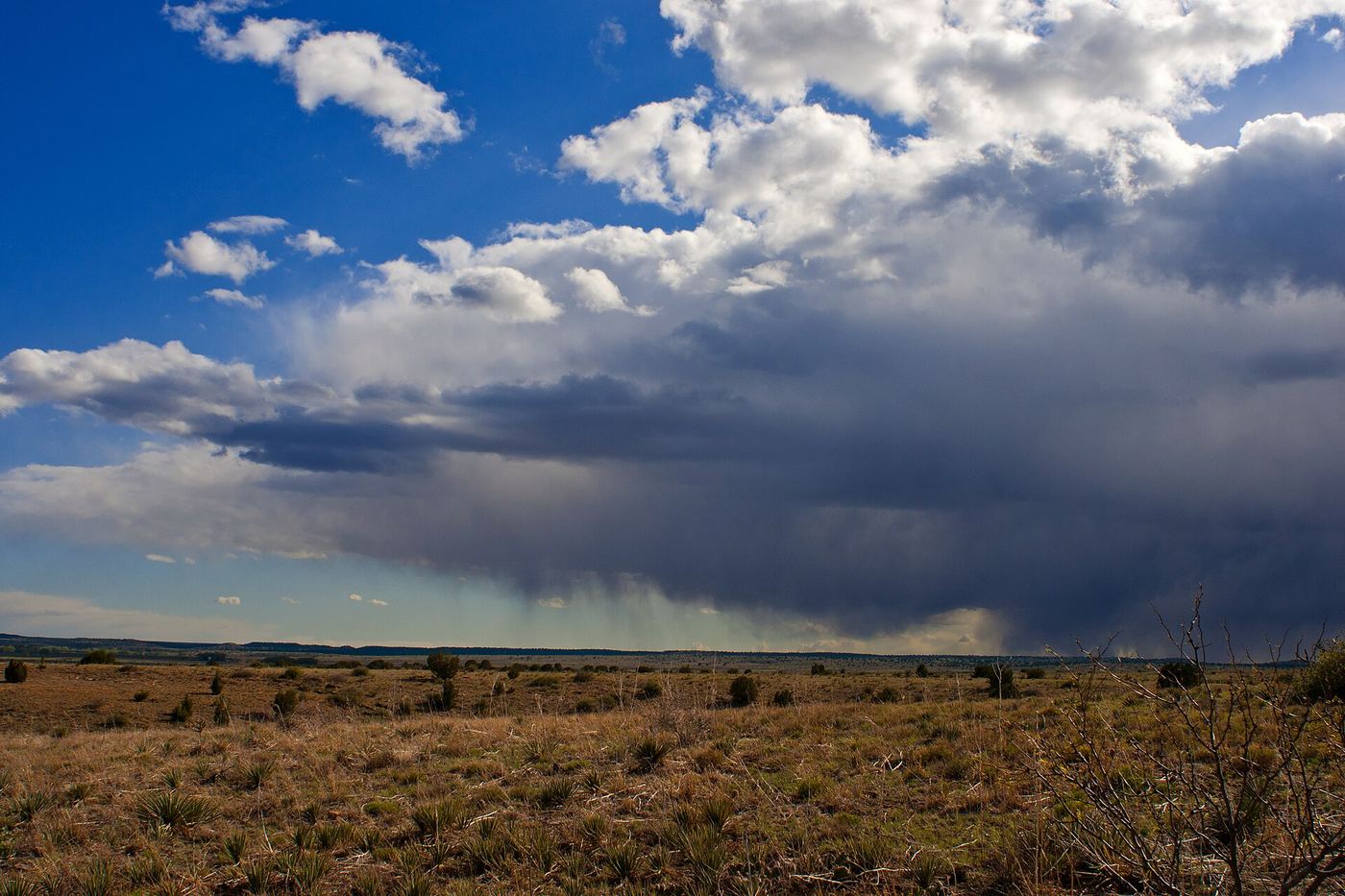
- Location
- Cimarron County, Oklahoma
- Nearest town
- 21.8 miles west of Boise City
- Type
- State Park
About Black Mesa State Park
About 15 miles separate this park from its namesake formation, Black Mesa, the highest point in Oklahoma. That summit carries a cap of black lava rock, which gave the mesa and the park their name. The park sits near the state's border with New Mexico, in the panhandle region.
Hours, fees, camping, reservations and closures are set by the park and change often. Check the official park site before you go.
Getting there
Black Mesa State Park is in Cimarron County, Oklahoma, 21.8 miles west of Boise City. The Directions button takes you to the park's mapped location; the entrance may be elsewhere, so check the official site for the address to use.
State parks near Black Mesa State Park
Within 60 miles, closest first, straight-line. All 40 in Oklahoma →
Facts from Wikidata, checked September 25, 2026. Distances are straight-line.