State Natural Area · Oregon
Succor Creek State Natural Area
- Location
- Malheur County, Oregon
- Nearest town
- 14.5 miles southwest of Homedale, ID
- Type
- State Natural Area
About Succor Creek State Natural Area
Given the limited SOURCE material, an honest description can't include a number that isn't stated. The source only confirms that this natural area is administered by the Oregon Parks and Recreation Department, without giving size, dates, or other figures. Succor Creek State Natural Area is administered by the Oregon Parks and Recreation Department, which oversees its management as a designated natural area within the state park system. The land is set aside for protection rather than developed recreation, reflecting its classification as a natural area distinct from other park types. Details about its specific terrain, waterway, or historical background are not available beyond this administrative designation.
Hours, fees, camping, reservations and closures are set by the park and change often. Check the official park site before you go.
Getting there
Succor Creek State Natural Area is in Malheur County, Oregon, 14.5 miles southwest of Homedale, ID. The Directions button takes you to the park's mapped location; the entrance may be elsewhere, so check the official site for the address to use.
State parks near Succor Creek State Natural Area
Within 60 miles, closest first, straight-line. All 137 in Oregon →
- Lake Owyhee State ParkState Park · Malheur County, OR12 miNW
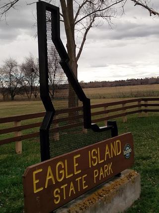 Eagle Island State ParkState Park · Ada County, ID40 miE
- Ontario State Recreation SiteState Recreation Area · Malheur County, OR41 miN
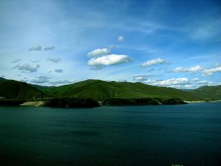 Lucky Peak State ParkState Park · Ada County, ID54 miE
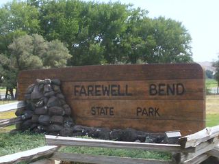 Farewell Bend State Recreation AreaState Recreation Area · Baker County, OR58 miN
Towns near Succor Creek State Natural Area
State parks near Nampa, State parks near Ontario, State parks near Boise
Facts from Wikidata, checked September 25, 2026. Distances are straight-line.