State Recreation Area · Oregon
Farewell Bend State Recreation Area
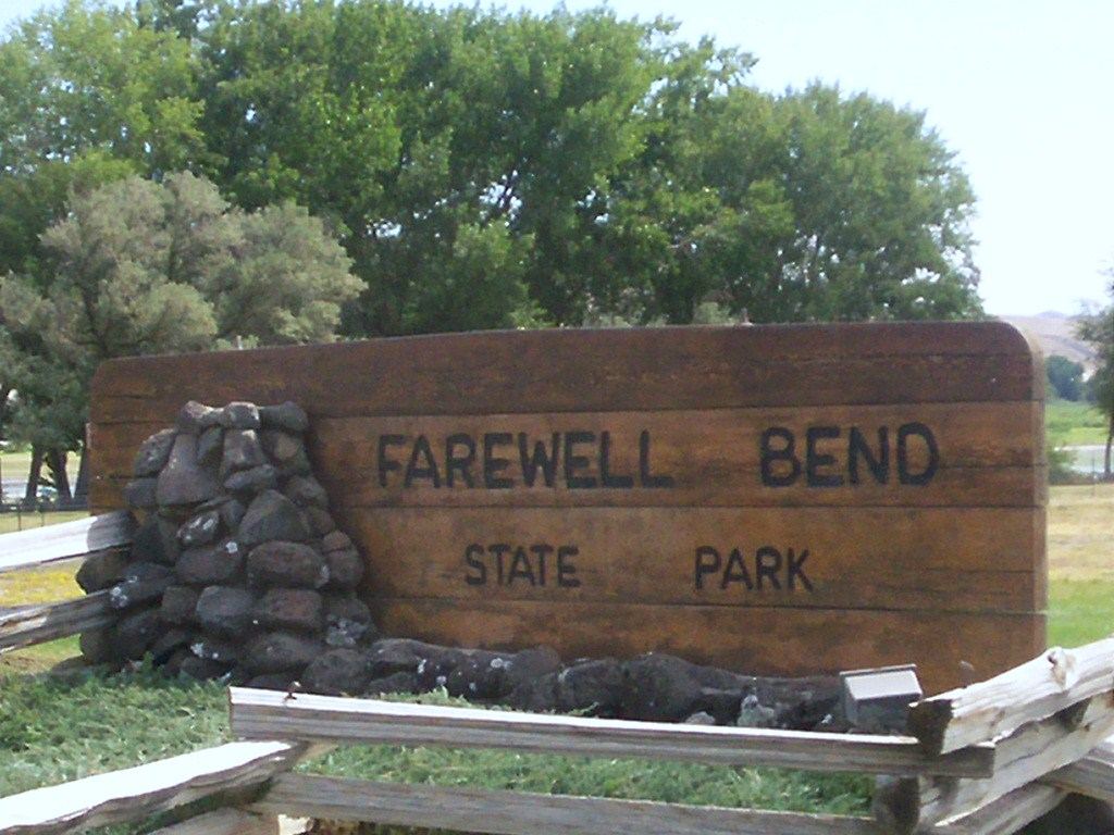
- Location
- Baker County, Oregon
- Nearest town
- 13.1 miles west of Weiser, ID
- Type
- State Recreation Area
About Farewell Bend State Recreation Area
Along the Snake River sits the spot where Oregon Trail travelers made their last stop before the route turned north into rougher country along the Burnt River. Here emigrants rested and let their animals drink and graze before continuing on. The recreation area preserves this river bend and its role as a waypoint on the historic overland route.
Hours, fees, camping, reservations and closures are set by the park and change often. Check the official park site before you go.
Getting there
Farewell Bend State Recreation Area is in Baker County, Oregon, 13.1 miles west of Weiser, ID. The Directions button takes you to the park's mapped location; the entrance may be elsewhere, so check the official site for the address to use.
State parks near Farewell Bend State Recreation Area
Within 60 miles, closest first, straight-line. All 137 in Oregon →
- Ontario State Recreation SiteState Recreation Area · Malheur County, OR22 miSE
- Lake Owyhee State ParkState Park · Malheur County, OR48 miS
 Unity Lake State Recreation SiteState Recreation Area · Baker County, OR49 miW
- Sumpter Valley Dredge State Heritage AreaState Historic Site · Baker County, OR57 miNW
- Succor Creek State Natural AreaState Natural Area · Malheur County, OR58 miS
 Lake Cascade State ParkState Park · Valley County, ID60 miE
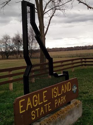 Eagle Island State ParkState Park · Ada County, ID60 miSE
Towns near Farewell Bend State Recreation Area
Facts from Wikidata, checked September 25, 2026. Distances are straight-line.