State Park · Arizona
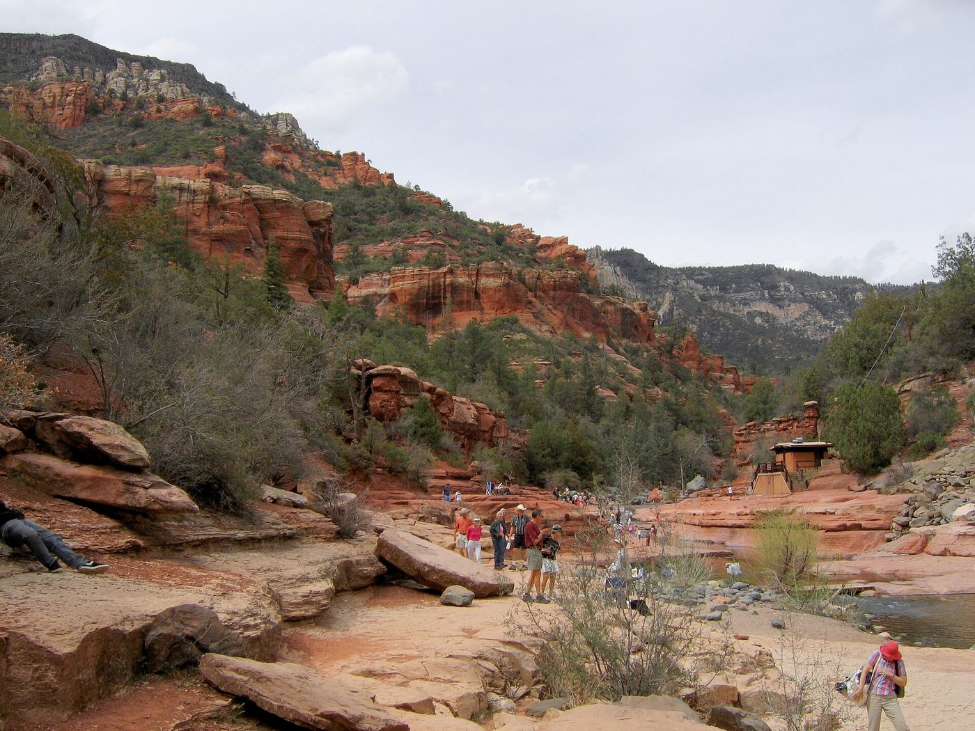
Slide Rock State Park
- Location
- Coconino County, Arizona
- Nearest town
- 3.6 miles northeast of Sedona
- Type
- State Park
About Slide Rock State Park
A natural chute carved into the slippery bed of Oak Creek gives the park its name, and the surrounding red rock formations are typical of the Oak Creek Canyon region. The land sits within Coconino National Forest and is co-managed by Arizona State Parks and the U.S. Forest Service. Within its boundaries is a 43-acre working apple farm, and the site draws more than a quarter of a million visitors annually, ranking among the state's most-visited attractions.
Hours, fees, camping, reservations and closures are set by the park and change often. Check the official park site before you go.
Getting there
Slide Rock State Park is in Coconino County, Arizona, 3.6 miles northeast of Sedona. The Directions button takes you to the park's mapped location; the entrance may be elsewhere, so check the official site for the address to use.
State parks near Slide Rock State Park
Within 60 miles, closest first, straight-line. All 26 in Arizona →
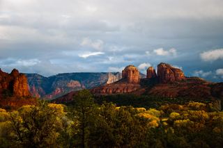 Red Rock State ParkState Park · Yavapai County, AZ8.9 miSW
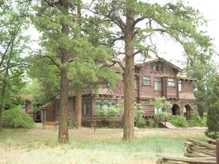 Riordan Mansion State Historic ParkState Historic Site · Coconino County, AZ19 miN
 Dead Horse Ranch State ParkState Park · Yavapai County, AZ20 miSW
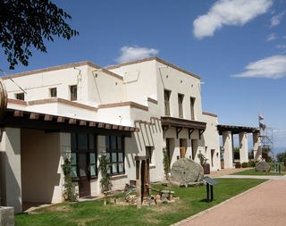 Jerome State Historic ParkState Historic Site · Yavapai County, AZ24 miSW
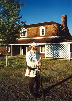 Fort Verde State Historic ParkState Historic Site · Yavapai County, AZ25 miS
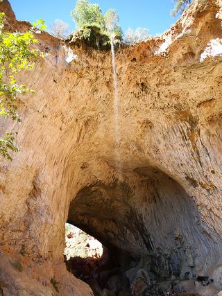 Tonto Natural Bridge State ParkState Park · Gila County, AZ44 miS
Towns near Slide Rock State Park
State parks near Sedona, State parks near Cottonwood, State parks near Flagstaff, State parks near Camp Verde, State parks near Prescott Valley
Facts from Wikidata, checked September 25, 2026. Distances are straight-line.