State Park · Arizona
Tonto Natural Bridge State Park
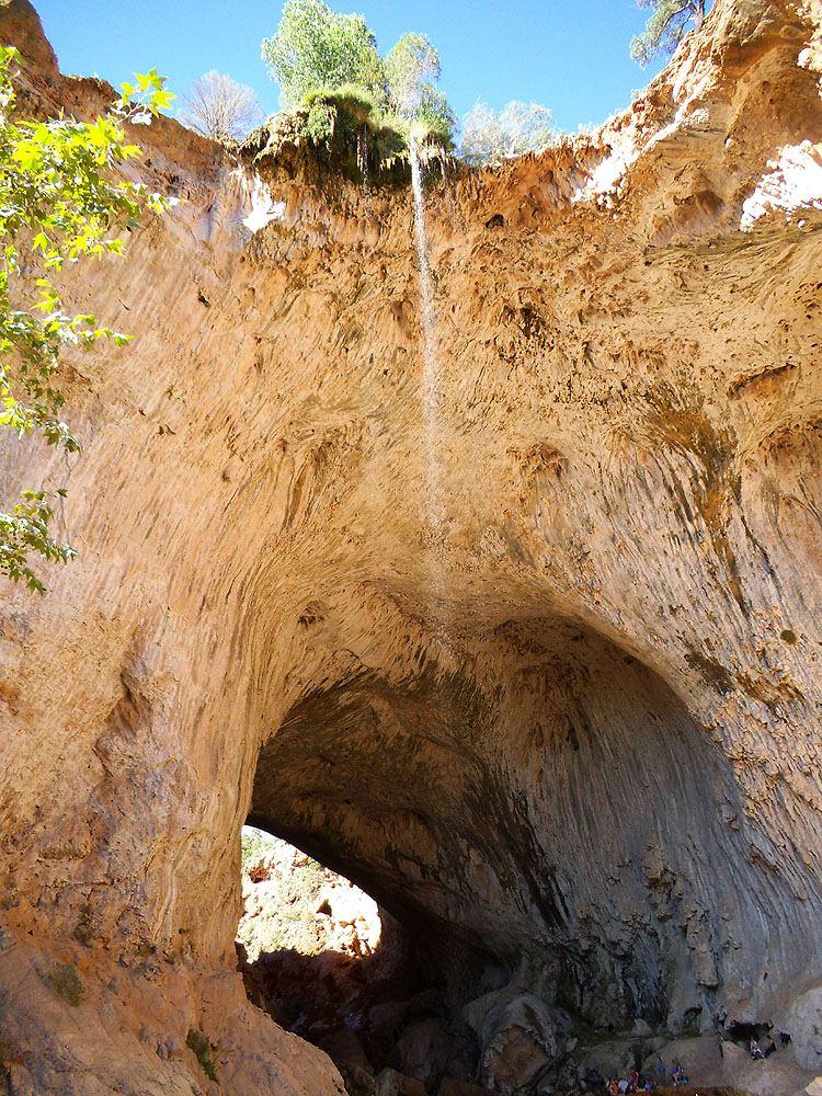
- Location
- Gila County, Arizona
- Nearest town
- 4.4 miles south of Pine
- Type
- State Park
About Tonto Natural Bridge State Park
A 400-foot-long tunnel runs beneath the travertine arch that gives this park its name, reaching 183 feet high and up to 150 feet wide at its broadest point. The bridge is thought to be the largest of its kind formed from travertine anywhere in the world. The formation stands as the main feature within the park's boundaries, reached from State Route 87 north of Payson.
Hours, fees, camping, reservations and closures are set by the park and change often. Check the official park site before you go.
Getting there
Tonto Natural Bridge State Park is in Gila County, Arizona, 4.4 miles south of Pine. The Directions button takes you to the park's mapped location; the entrance may be elsewhere, so check the official site for the address to use.
State parks near Tonto Natural Bridge State Park
Within 60 miles, closest first, straight-line. All 26 in Arizona →
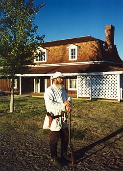 Fort Verde State Historic ParkState Historic Site · Yavapai County, AZ28 miNW
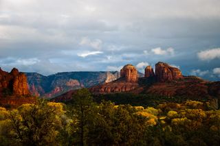 Red Rock State ParkState Park · Yavapai County, AZ40 miNW
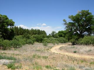 Dead Horse Ranch State ParkState Park · Yavapai County, AZ43 miNW
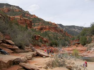 Slide Rock State ParkState Park · Coconino County, AZ44 miN
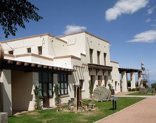 Jerome State Historic ParkState Historic Site · Yavapai County, AZ48 miNW
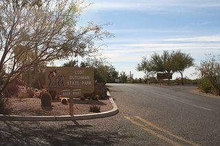 Lost Dutchman State ParkState Park · Pinal County, AZ60 miS
Towns near Tonto Natural Bridge State Park
State parks near Payson, State parks near Camp Verde, State parks near Sedona, State parks near Cottonwood
Facts from Wikidata, checked September 25, 2026. Distances are straight-line.