State Park · Arizona
Dead Horse Ranch State Park
- Location
- Yavapai County, Arizona
- Nearest town
- 0.9 miles north of Cottonwood
- Type
- State Park
About Dead Horse Ranch State Park
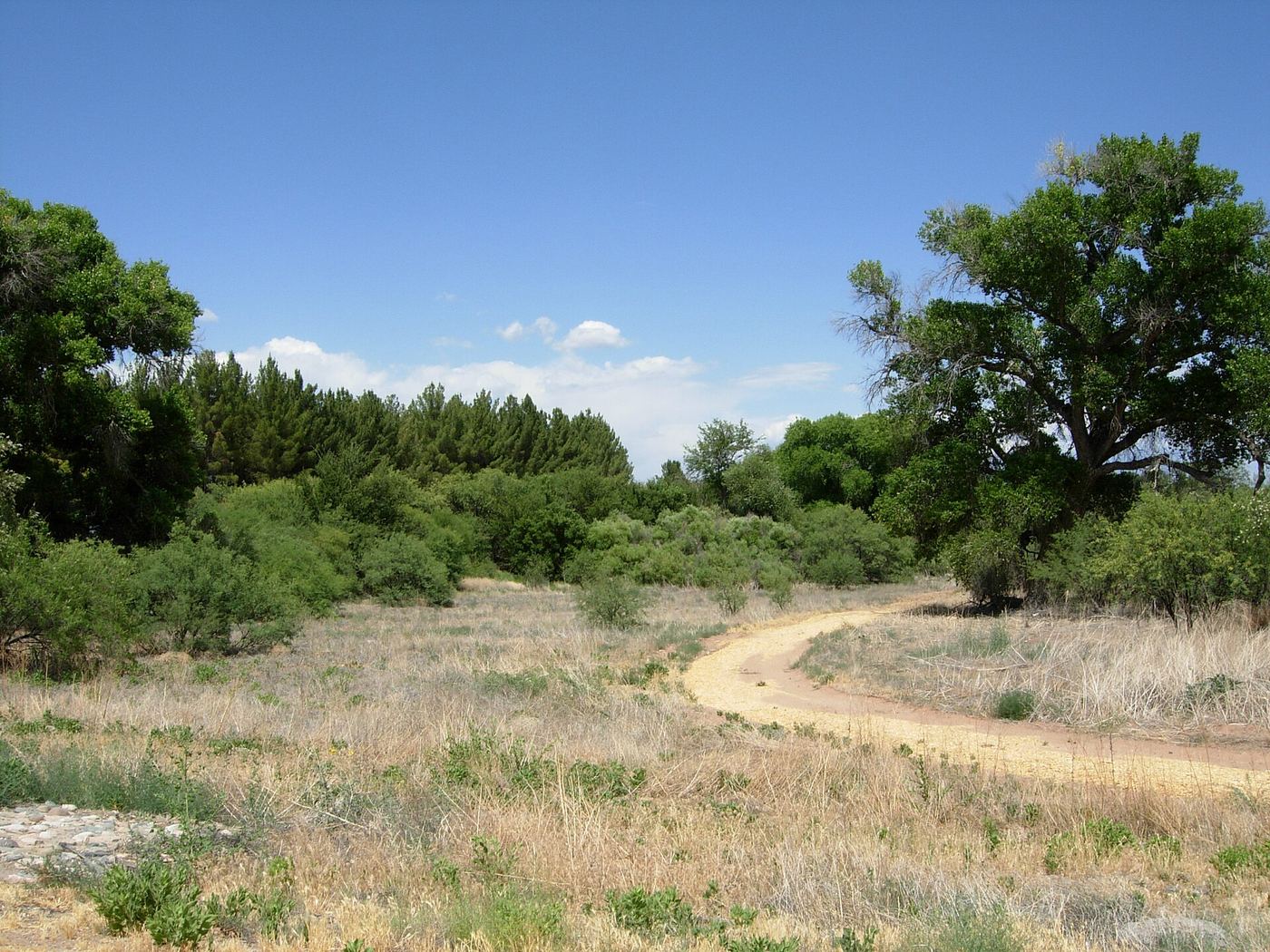
The Verde River runs through this park as part of the Verde River Greenway, at roughly 3,300 feet in elevation. The 423 acres include 10 miles of hiking trails and connect to the adjacent Dead Horse Trail System on Coconino National Forest land. Facilities cover 150 campground sites, 23 group camping sites, and several picnic areas. Its name comes from the Ireys family, who owned the ranch before selling the land to Arizona to form the park.
Hours, fees, camping, reservations and closures are set by the park and change often. Check the official park site before you go.
Getting there
Dead Horse Ranch State Park is in Yavapai County, Arizona, 0.9 miles north of Cottonwood. The Directions button takes you to the park's mapped location; the entrance may be elsewhere, so check the official site for the address to use.
State parks near Dead Horse Ranch State Park
Within 60 miles, closest first, straight-line. All 26 in Arizona →
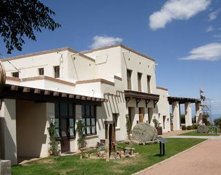 Jerome State Historic ParkState Historic Site · Yavapai County, AZ5.6 miW
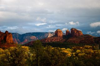 Red Rock State ParkState Park · Yavapai County, AZ11 miNE
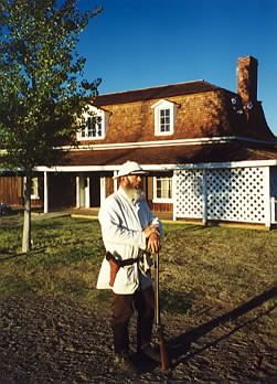 Fort Verde State Historic ParkState Historic Site · Yavapai County, AZ16 miSE
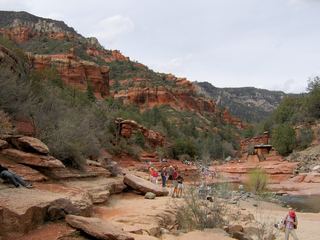 Slide Rock State ParkState Park · Coconino County, AZ20 miNE
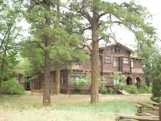 Riordan Mansion State Historic ParkState Historic Site · Coconino County, AZ36 miNE
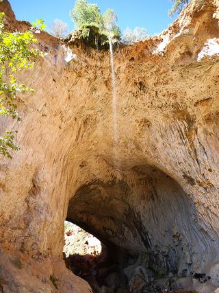 Tonto Natural Bridge State ParkState Park · Gila County, AZ43 miSE
- Granite Mountain Hotshots Memorial State ParkState Park · Yavapai County, AZ57 miSW
Towns near Dead Horse Ranch State Park
State parks near Cottonwood, State parks near Camp Verde, State parks near Sedona, State parks near Prescott Valley, State parks near Flagstaff
Facts from Wikidata, checked September 25, 2026. Distances are straight-line.