State Park · California
The Forest of Nisene Marks State Park
- Location
- Santa Cruz County, California
- Nearest town
- 1.4 miles northwest of Day Valley
- Type
- State Park
About The Forest of Nisene Marks State Park
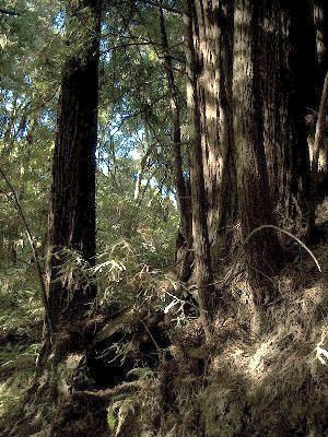
A secondary forest covering 10,223 acres in the Santa Cruz Mountains makes up the bulk of this park, spread across the watershed of Aptos Creek and Soquel Creek. More than 40 miles of hiking trails and fire roads cross the terrain, which varies across the property. The land protected here regrew after earlier logging, giving the park its character as regenerated woodland rather than untouched old growth.
Hours, fees, camping, reservations and closures are set by the park and change often. Check the official park site before you go.
Getting there
The Forest of Nisene Marks State Park is in Santa Cruz County, California, 1.4 miles northwest of Day Valley. The Directions button takes you to the park's mapped location; the entrance may be elsewhere, so check the official site for the address to use.
State parks near The Forest of Nisene Marks State Park
Within 60 miles, closest first, straight-line. All 213 in California →
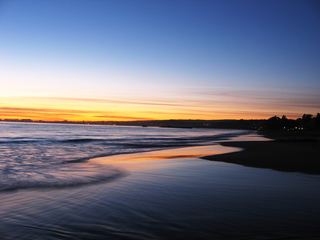 Seacliff State BeachState Beach · Santa Cruz County, CA5.3 miS
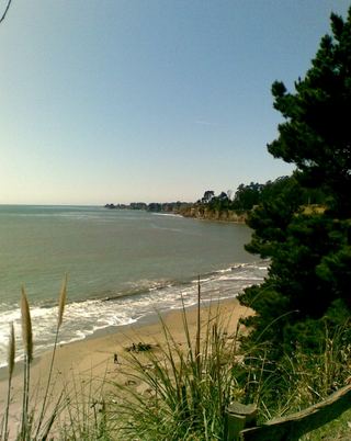 New Brighton State BeachState Beach · Santa Cruz County, CA5.4 miSW
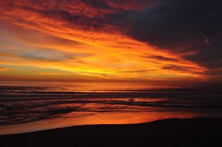 Manresa State BeachState Beach · Santa Cruz County, CA7.9 miS
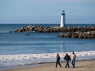 Twin Lakes State BeachState Beach · Santa Cruz County, CA8.5 miSW
- Santa Cruz Mission State Historic ParkState Historic Site · Santa Cruz County, CA9.1 miSW
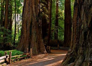 Henry Cowell Redwoods State ParkState Park · Santa Cruz County, CA9.3 miW
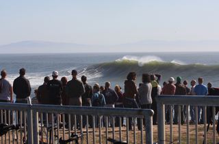 Lighthouse Field State BeachState Beach · Santa Cruz County, CA10 miSW
 Sunset State BeachState Beach · Santa Cruz County, CA11 miS
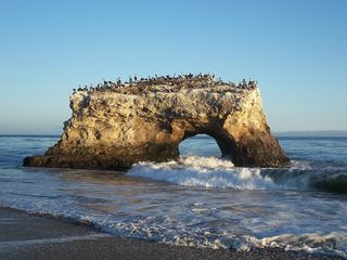 Natural Bridges State BeachState Beach · Santa Cruz County, CA11 miSW
Towns near The Forest of Nisene Marks State Park
State parks near Santa Cruz, State parks near Watsonville, State parks near Morgan Hill, State parks near San Jose, State parks near Salinas, State parks near Pacific Grove
Facts from Wikidata, checked September 25, 2026. Distances are straight-line.