State Park · Colorado
Rifle Falls State Park

- Location
- Garfield County, Colorado
- Nearest town
- 9 miles north of Silt
- Type
- State Park
About Rifle Falls State Park
East Rifle Creek drops over a travertine dam in three separate 70-foot streams, forming the waterfall around which this 48-acre park was set aside in 1966. Limestone cliffs near the falls hold a handful of small caves used by three bat species, and the creek itself supports rainbow and brown trout. Two miles of hiking trails, along with campsites and picnic areas, give access to the falls and surrounding cliffs. Mule deer, elk, and coyote are among the animals reported in the area.
Hours, fees, camping, reservations and closures are set by the park and change often. Check the official park site before you go.
Getting there
Rifle Falls State Park is in Garfield County, Colorado, 9 miles north of Silt. The Directions button takes you to the park's mapped location; the entrance may be elsewhere, so check the official site for the address to use.
State parks near Rifle Falls State Park
Within 60 miles, closest first, straight-line. All 45 in Colorado →
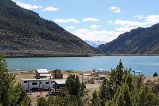 Rifle Gap State ParkState Park · Garfield County, CO4.0 miSW
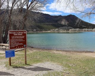 Harvey Gap State ParkState Park · Garfield County, CO4.7 miSE
- Sweetwater Lake State ParkState Park · Garfield County, CO30 miE
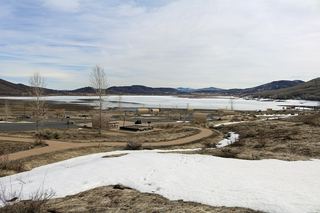 Vega State ParkState Park · Mesa County, CO31 miS
 Sylvan Lake State ParkState Park · Eagle County, CO51 miE
- Paonia State ParkState Park · Gunnison County, CO51 miS
 James M. Robb – Colorado River State ParkState Park · Mesa County, CO59 miSW
Facts from Wikidata, checked September 25, 2026. Distances are straight-line.