State Park · Connecticut
Moosup Valley State Park Trail
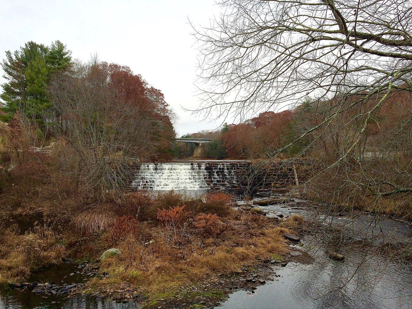
- Location
- Windham County, Connecticut
- Nearest town
- 1.3 miles southwest of Moosup
- Type
- State Park
About Moosup Valley State Park Trail
A former New York, New Haven and Hartford Railroad line runs beneath this trail, laid down for train service that operated from 1898 until 1968. After the tracks were abandoned in the late 1960s, the state converted the railbed into a multi-use trail spanning the towns of Plainfield and Sterling. It remains under the ownership and operation of the Connecticut Department of Energy and Environmental Protection.
Hours, fees, camping, reservations and closures are set by the park and change often. Check the official park site before you go.
Getting there
Moosup Valley State Park Trail is in Windham County, Connecticut, 1.3 miles southwest of Moosup. The Directions button takes you to the park's mapped location; the entrance may be elsewhere, so check the official site for the address to use.
State parks near Moosup Valley State Park Trail
Within 60 miles, closest first, straight-line. All 94 in Connecticut →
- Quinebaug Lake State ParkState Park · Windham County, CT4.8 miN
- Ross Pond State ParkState Park · Windham County, CT5.6 miN
 Old Furnace State ParkState Park · Windham County, CT5.9 miN
 Hopeville Pond State ParkState Park · New London County, CT6.5 miS
 Mashamoquet Brook State ParkState Park · Windham County, CT11 miNW
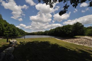 Beaver Brook State ParkState Park · Windham County, CT12 miW
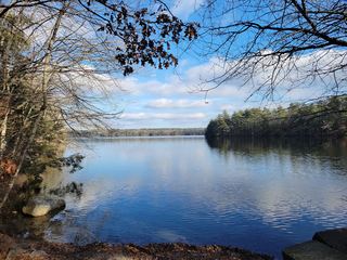 Killingly Pond State ParkState Park · Windham County, CT12 miNE
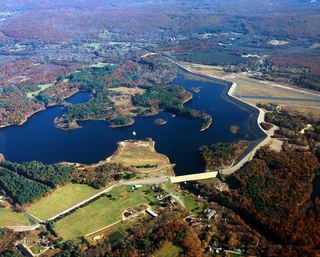 Mansfield Hollow State ParkState Park · Tolland County, CT15 miW
- Pulaski State ParkState Park · Providence County, RI17 miN
Towns near Moosup Valley State Park Trail
State parks near Coventry, State parks near Norwich, State parks near Mansfield City, State parks near Westerly, State parks near South Kingstown, State parks near Providence
Facts from Wikidata, checked September 25, 2026. Distances are straight-line.