State Park · Connecticut
Mansfield Hollow State Park
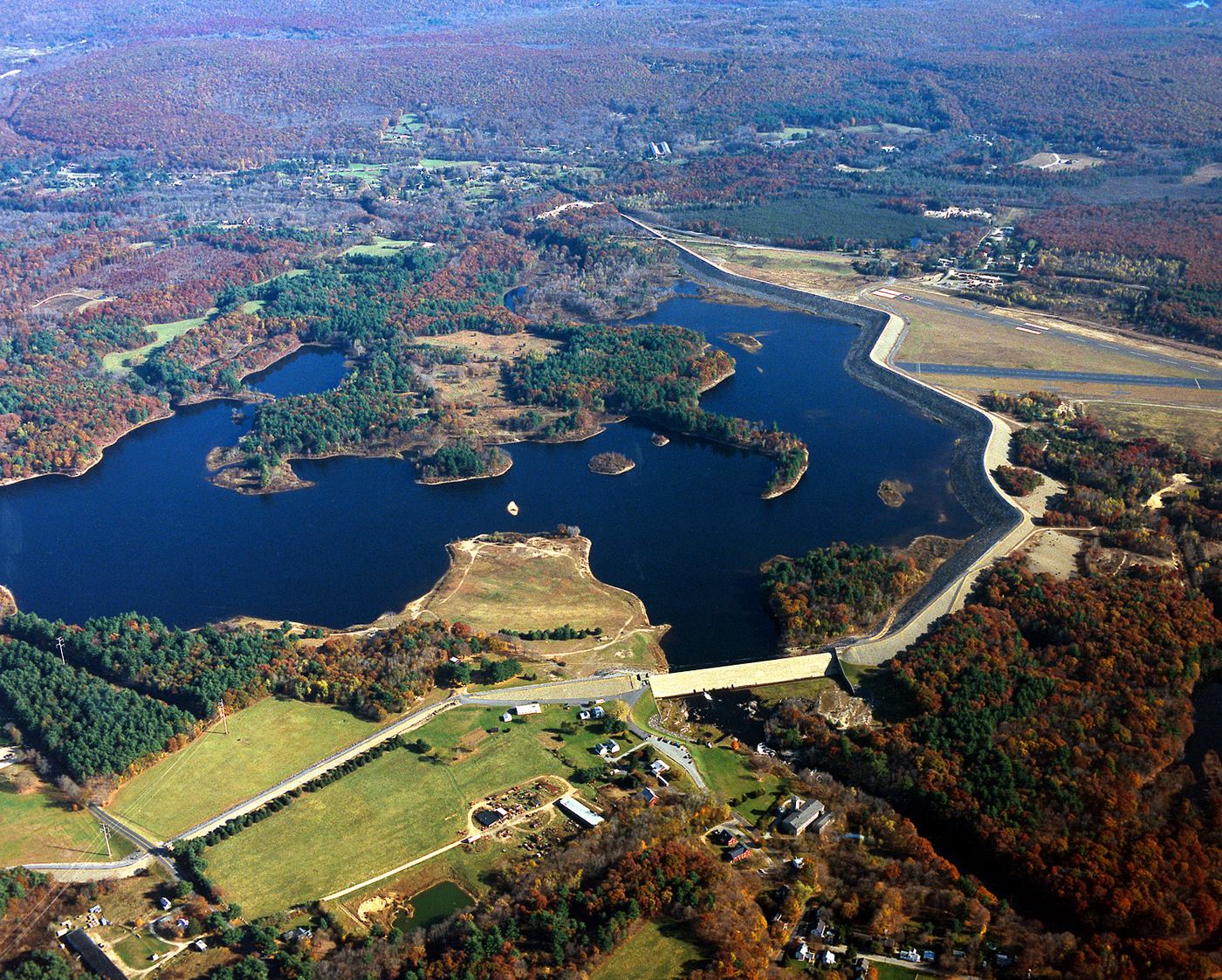
- Location
- Tolland County, Connecticut
- Nearest town
- 3 miles east of Mansfield City
- Type
- State Park
About Mansfield Hollow State Park
Retreating glaciers shaped this land long before it became parkland, leaving behind kames, eskers, and kettles that still mark the terrain. The 251 acres here sit on leased ground along the western shore of the 500-acre Mansfield Hollow Lake, part of a larger 2,300-acre tract the state manages under agreement with the U.S. Army Corps of Engineers. Visitors can boat, fish, picnic, hike, or mountain bike, and the southeastern leg of the Nipmuck Trail runs through the property.
Hours, fees, camping, reservations and closures are set by the park and change often. Check the official park site before you go.
Getting there
Mansfield Hollow State Park is in Tolland County, Connecticut, 3 miles east of Mansfield City. The Directions button takes you to the park's mapped location; the entrance may be elsewhere, so check the official site for the address to use.
State parks near Mansfield Hollow State Park
Within 60 miles, closest first, straight-line. All 94 in Connecticut →
 Beaver Brook State ParkState Park · Windham County, CT3.6 miSE
- Pomeroy State ParkState Park · New London County, CT5.4 miSW
 Mono Pond State Park ReserveState Park · Tolland County, CT9.3 miSW
 Mashamoquet Brook State ParkState Park · Windham County, CT11 miNE
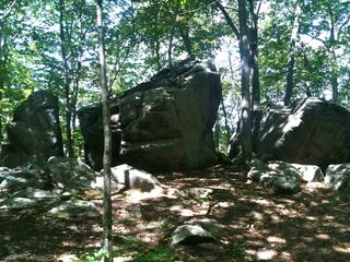 Gay City State ParkState Park · Tolland County, CT14 miW
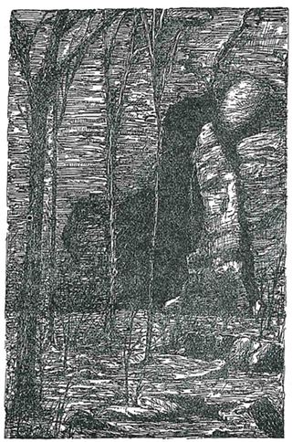 Bolton Notch State ParkState Park · Tolland County, CT14 miW
- Quinebaug Lake State ParkState Park · Windham County, CT15 miE
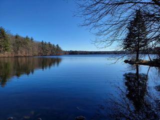 Mooween State ParkState Park · New London County, CT15 miS
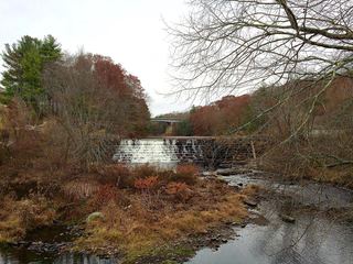 Moosup Valley State Park TrailState Park · Windham County, CT15 miE
Towns near Mansfield Hollow State Park
State parks near Mansfield City, State parks near Norwich, State parks near Southbridge, State parks near Coventry, State parks near Hartford, State parks near Springfield
Facts from Wikidata, checked September 25, 2026. Distances are straight-line.