State Park · Missouri
Shepherd of the Hills State Park
- Location
- Taney County, Missouri
- Nearest town
- 5.7 miles northwest of Branson
- Type
- State Park
About Shepherd of the Hills State Park
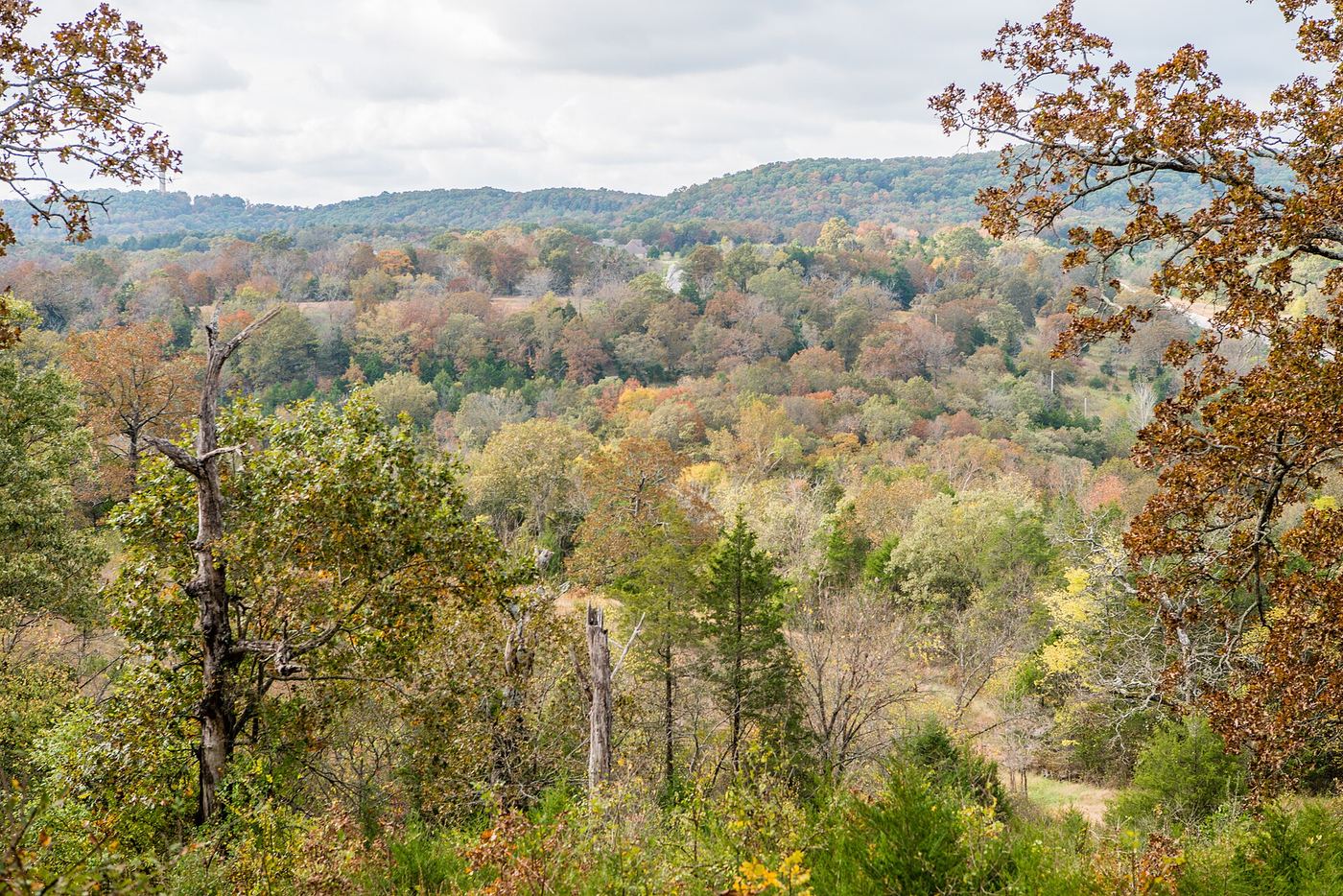
A one-room schoolhouse from the vanished community of Garber still stands on this land, a remnant of the settlement that once existed here. The 1,011-acre tract remains undeveloped, with public input still shaping what it will eventually offer. More than two miles of Roark Creek run through the property, including a portion of the East Fork, and the park borders the Ruth and Paul Henning Conservation Area. Its current name honors Harold Bell Wright's novel The Shepherd of the Hills, set in this area, replacing the original Ozark Mountain State Park designation.
Hours, fees, camping, reservations and closures are set by the park and change often. Check the official park site before you go.
Getting there
Shepherd of the Hills State Park is in Taney County, Missouri, 5.7 miles northwest of Branson. The Directions button takes you to the park's mapped location; the entrance may be elsewhere, so check the official site for the address to use.
State parks near Shepherd of the Hills State Park
Within 60 miles, closest first, straight-line. All 73 in Missouri →
 Table Rock State ParkState Park · Taney County, MO7.2 miS
 Roaring River State ParkState Park · Barry County, MO31 miW
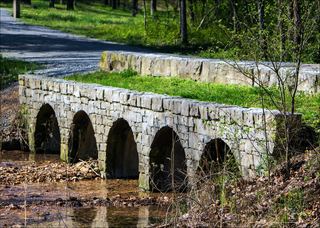 Hobbs State Park – Conservation AreaState Park · Benton County, AR45 miSW
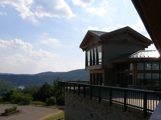 Bull Shoals-White River State ParkState Park · Baxter County, AR46 miSE
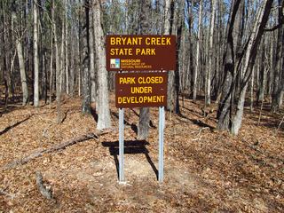 Bryant Creek State ParkState Park · Douglas County, MO49 miE
 Big Sugar Creek State ParkState Park · McDonald County, MO55 miW
Towns near Shepherd of the Hills State Park
State parks near Branson, State parks near Harrison, State parks near Springfield
Facts from Wikidata, checked September 25, 2026. Distances are straight-line.