State Park · Arkansas
Hobbs State Park – Conservation Area
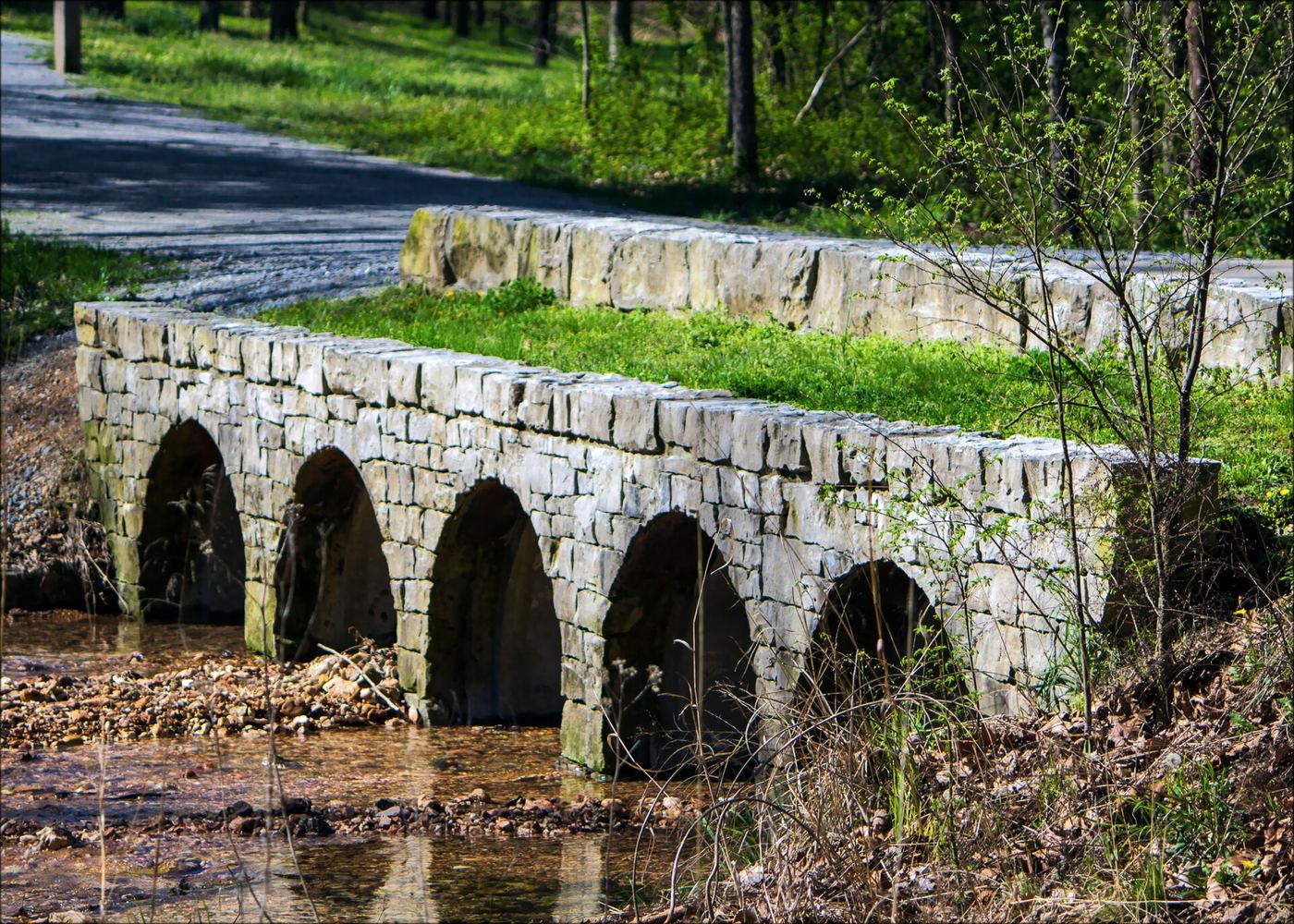
- Location
- Benton County, Arkansas
- Nearest town
- 7.9 miles southeast of Prairie Creek
- Type
- State Park
About Hobbs State Park – Conservation Area
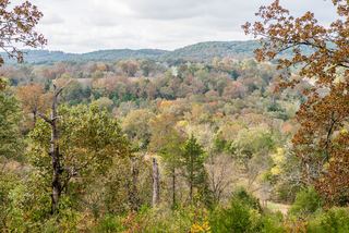
Beaver Lake borders the southern edge of this 12,056-acre tract, which spans the Springfield Plateau across Benton, Carroll, and Madison Counties. The land was acquired in 1979 through a large joint funding push by Northwest Arkansas banks. It offers 32.9 miles of trails open to hikers, mountain bikers, and equestrians, along with picnic areas, a shooting range, and primitive campsites.
Hours, fees, camping, reservations and closures are set by the park and change often. Check the official park site before you go.
Getting there
Hobbs State Park – Conservation Area is in Benton County, Arkansas, 7.9 miles southeast of Prairie Creek. The Directions button takes you to the park's mapped location; the entrance may be elsewhere, so check the official site for the address to use.
State parks near Hobbs State Park – Conservation Area
Within 60 miles, closest first, straight-line. All 41 in Arkansas →
 Roaring River State ParkState Park · Barry County, MO22 miN
 Prairie Grove Battlefield State ParkState Park · Washington County, AR29 miSW
 Big Sugar Creek State ParkState Park · McDonald County, MO31 miNW
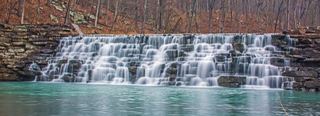 Devil's Den State ParkState Park · Washington County, AR39 miSW
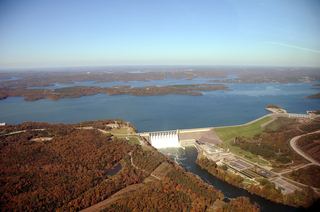 Table Rock State ParkState Park · Taney County, MO41 miNE
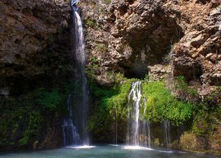 Natural Falls State ParkState Park · Delaware County, OK41 miW
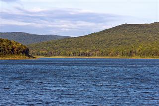 Lake Fort Smith State ParkState Park · Crawford County, AR42 miS
 Shepherd of the Hills State ParkState Park · Taney County, MO45 miNE
- Adair State ParkState Park · Adair County, OK50 miSW
Towns near Hobbs State Park – Conservation Area
State parks near Rogers, State parks near Fayetteville, State parks near Siloam Springs, State parks near Harrison, State parks near Neosho, State parks near Branson
Facts from Wikidata, checked September 25, 2026. Distances are straight-line.