State Park · New Mexico
Coyote Creek State Park
- Location
- Mora County, New Mexico
- Nearest town
- 10 miles east of Mora
- Type
- State Park
About Coyote Creek State Park
A riparian canyon in the Sangre de Cristo Mountains was set aside for protection, preserving the streamside terrain of Coyote Creek within park boundaries. The land sits along a waterway cutting through mountain country, distinct from the surrounding high desert. Its canyon setting places it apart from flatter park lands elsewhere in the state, offering a stream corridor bordered by rising mountain terrain.
Hours, fees, camping, reservations and closures are set by the park and change often. Check the official park site before you go.
Getting there
Coyote Creek State Park is in Mora County, New Mexico, 10 miles east of Mora. The Directions button takes you to the park's mapped location; the entrance may be elsewhere, so check the official site for the address to use.
State parks near Coyote Creek State Park
Within 60 miles, closest first, straight-line. All 31 in New Mexico →
- Morphy Lake State ParkState Park · Mora County, NM13 miW
- Storrie Lake State ParkState Park · San Miguel County, NM19 miS
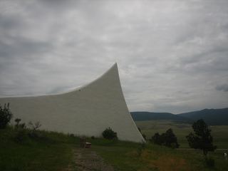 Vietnam Veterans Memorial State ParkState Park · Colfax County, NM37 miN
- Hyde Memorial State ParkState Park · Santa Fe County, NM40 miW
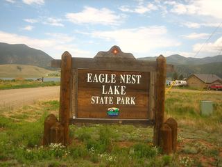 Eagle Nest Lake State ParkState Park · Colfax County, NM43 miN
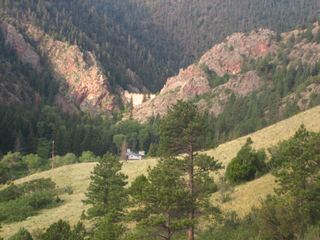 Cimarron Canyon State ParkState Park · Colfax County, NM43 miN
- Villanueva State ParkState Park · San Miguel County, NM47 miS
Towns near Coyote Creek State Park
Facts from Wikidata, checked September 25, 2026. Distances are straight-line.