State Park · New Mexico
Cimarron Canyon State Park
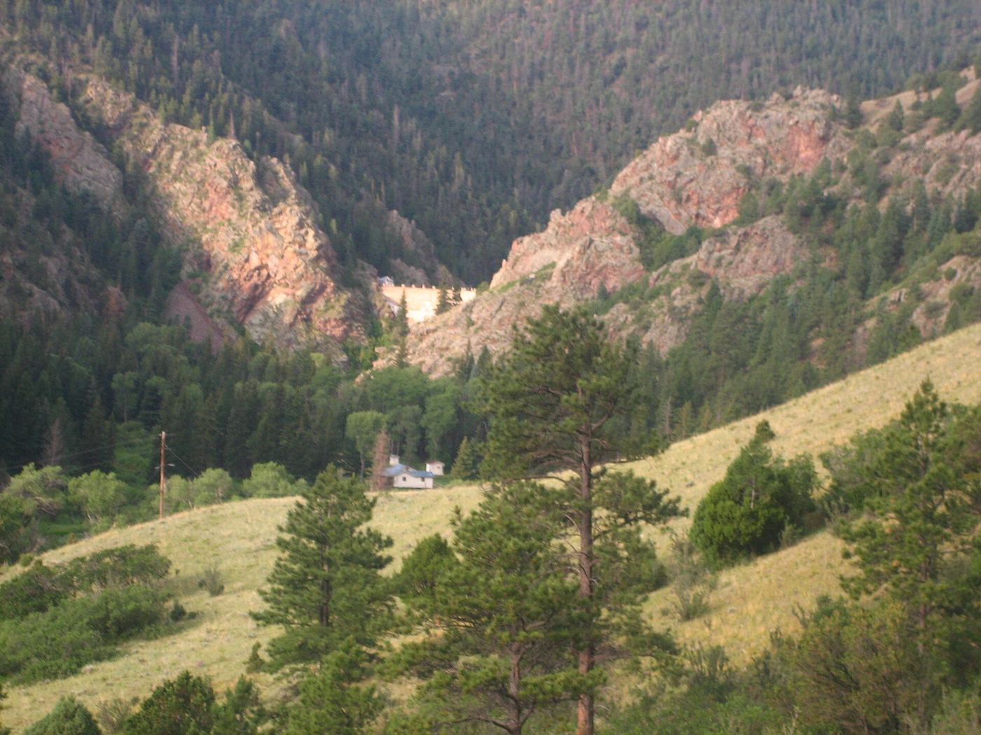
- Location
- Colfax County, New Mexico
- Nearest town
- 11.7 miles northeast of Angel Fire
- Type
- State Park
About Cimarron Canyon State Park
Rock walls known as the Palisades Sill rise above the Cimarron River, formed within the Colin Neblett Wildlife Area where the park sits. The protected corridor runs for 8 miles along Cimarron Canyon, stretching between Tolby Creek and Ute Park. Trout fishing draws visitors to the river itself and to its tributaries, Clear Creek and Tolby Creek.
Hours, fees, camping, reservations and closures are set by the park and change often. Check the official park site before you go.
Getting there
Cimarron Canyon State Park is in Colfax County, New Mexico, 11.7 miles northeast of Angel Fire. The Directions button takes you to the park's mapped location; the entrance may be elsewhere, so check the official site for the address to use.
State parks near Cimarron Canyon State Park
Within 60 miles, closest first, straight-line. All 31 in New Mexico →
 Eagle Nest Lake State ParkState Park · Colfax County, NM4.2 miW
 Vietnam Veterans Memorial State ParkState Park · Colfax County, NM9.4 miSW
- Coyote Creek State ParkState Park · Mora County, NM43 miS
- Morphy Lake State ParkState Park · Mora County, NM43 miS
 Sugarite Canyon State ParkState Park · Colfax County, NM52 miNE
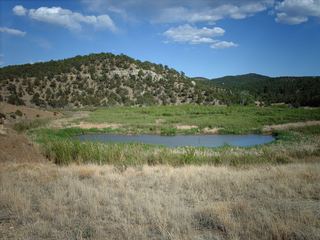 Trinidad Lake State ParkState Park · Las Animas County, CO54 miNE
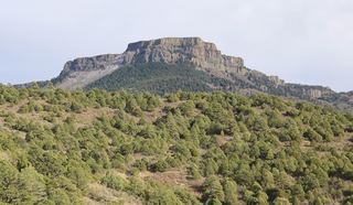 Fishers Peak State ParkState Park · Las Animas County, CO55 miNE
Facts from Wikidata, checked September 25, 2026. Distances are straight-line.