State Park · New York
Eel Weir State Park
- Location
- St. Lawrence County, New York
- Nearest town
- 4.5 miles south of Ogdensburg
- Type
- State Park
About Eel Weir State Park
Sixteen acres of land along the Oswegatchie River make up this park, situated within the St. Lawrence Valley. The river here sits roughly two miles from Black Lake, placing the park along a waterway that connects to that larger body of water. The property's small size means it centers on this stretch of river frontage rather than expansive acreage.
Hours, fees, camping, reservations and closures are set by the park and change often. Check the official park site before you go.
Getting there
Eel Weir State Park is in St. Lawrence County, New York, 4.5 miles south of Ogdensburg. The Directions button takes you to the park's mapped location; the entrance may be elsewhere, so check the official site for the address to use.
State parks near Eel Weir State Park
Within 60 miles, closest first, straight-line. All 167 in New York →
- Jacques Cartier State ParkState Park · St. Lawrence County, NY11 miSW
- Cedar Island State ParkState Park · St. Lawrence County, NY20 miSW
- Coles Creek State ParkState Park · St. Lawrence County, NY25 miNE
- Kring Point State ParkState Park · Jefferson County, NY25 miSW
- Higley Flow State ParkState Park · St. Lawrence County, NY29 miE
- Keewaydin State ParkState Park · Jefferson County, NY31 miSW
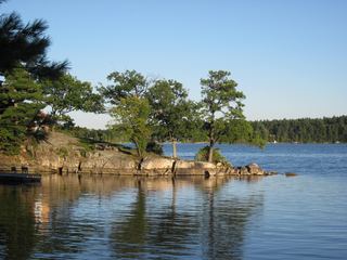 Dewolf Point State ParkState Park · Jefferson County, NY33 miSW
- Waterson Point State ParkState Park · Jefferson County, NY33 miSW
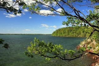 Wellesley Island State ParkState Park · Jefferson County, NY33 miSW
Towns near Eel Weir State Park
Facts from Wikidata, checked September 25, 2026. Distances are straight-line.