State Park · New York
Jacques Cartier State Park
- Location
- St. Lawrence County, New York
- Nearest town
- 13.5 miles southwest of Ogdensburg
- Type
- State Park
About Jacques Cartier State Park
Named for the French explorer who navigated the St. Lawrence River in the 1530s, this 461-acre park sits along the river's south bank in the Town of Morristown. The land protects a stretch of shoreline tied to that early exploration history. Its size gives visitors a substantial riverside area to take in, with the St. Lawrence itself as the defining geographic feature bordering the property.
Hours, fees, camping, reservations and closures are set by the park and change often. Check the official park site before you go.
Getting there
Jacques Cartier State Park is in St. Lawrence County, New York, 13.5 miles southwest of Ogdensburg. The Directions button takes you to the park's mapped location; the entrance may be elsewhere, so check the official site for the address to use.
State parks near Jacques Cartier State Park
Within 60 miles, closest first, straight-line. All 167 in New York →
- Cedar Island State ParkState Park · St. Lawrence County, NY9.1 miSW
- Eel Weir State ParkState Park · St. Lawrence County, NY11 miNE
- Kring Point State ParkState Park · Jefferson County, NY15 miSW
- Keewaydin State ParkState Park · Jefferson County, NY20 miSW
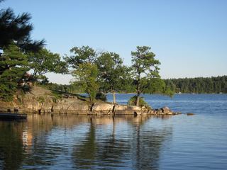 Dewolf Point State ParkState Park · Jefferson County, NY22 miSW
- Waterson Point State ParkState Park · Jefferson County, NY22 miSW
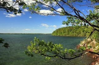 Wellesley Island State ParkState Park · Jefferson County, NY22 miSW
- Grass Point State ParkState Park · Jefferson County, NY25 miSW
- Canoe-Picnic Point State ParkState Park · Jefferson County, NY26 miSW
Towns near Jacques Cartier State Park
State parks near Ogdensburg, State parks near Watertown, State parks near Massena
Facts from Wikidata, checked September 25, 2026. Distances are straight-line.