State Park · New York
Nissequogue River State Park
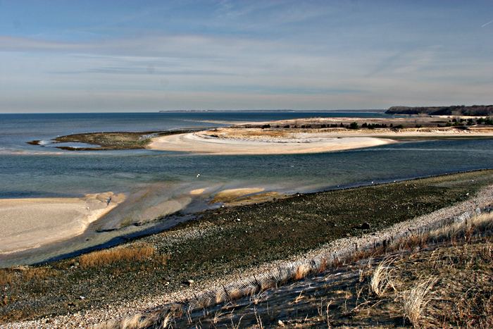
- Location
- Suffolk County, New York
- Nearest town
- 1.6 miles northeast of Kings Park
- Type
- State Park
About Nissequogue River State Park
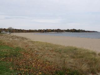
521 acres of bluffs and shoreline along the Nissequogue River make up this park, opened in 2000 on land carved from the former Kings Park Psychiatric Center's waterfront grounds. The property still carries that institutional history into its current form as parkland, with the river frontage and rising banks as its defining terrain.
Hours, fees, camping, reservations and closures are set by the park and change often. Check the official park site before you go.
Getting there
Nissequogue River State Park is in Suffolk County, New York, 1.6 miles northeast of Kings Park. The Directions button takes you to the park's mapped location; the entrance may be elsewhere, so check the official site for the address to use.
State parks near Nissequogue River State Park
Within 60 miles, closest first, straight-line. All 167 in New York →
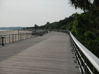 Sunken Meadow State ParkState Park · Suffolk County, NY1.7 miNW
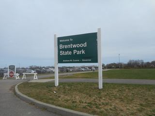 Brentwood State ParkState Park · Suffolk County, NY7.7 miS
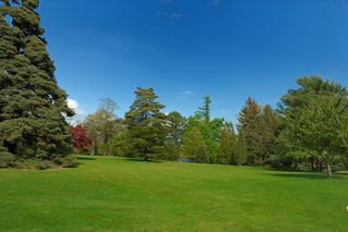 Bayard Cutting Arboretum State ParkState Park · Suffolk County, NY11 miS
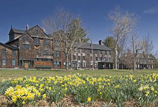 Connetquot River State Park PreserveState Park · Suffolk County, NY11 miSE
- Cold Spring Harbor State ParkState Park · Suffolk County, NY12 miW
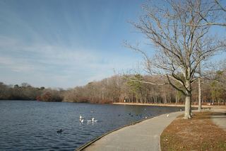 Belmont Lake State ParkState Park · Suffolk County, NY13 miSW
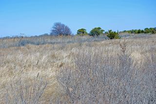 Heckscher State ParkState Park · Suffolk County, NY14 miS
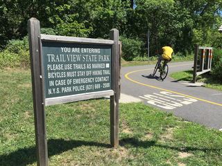 Trail View State ParkState Park · Nassau County, NY14 miSW
 Sherwood Island State ParkState Park · Fairfield County, CT16 miN
Towns near Nissequogue River State Park
State parks near Brentwood, State parks near Stamford, State parks near Bridgeport, State parks near Shirley, State parks near Hempstead, State parks near New Haven
Facts from Wikidata, checked September 25, 2026. Distances are straight-line.