State Park · Oklahoma
Little Sahara State Park
- Location
- Woods County, Oklahoma
- Nearest town
- 19.1 miles east of Mooreland
- Type
- State Park
About Little Sahara State Park
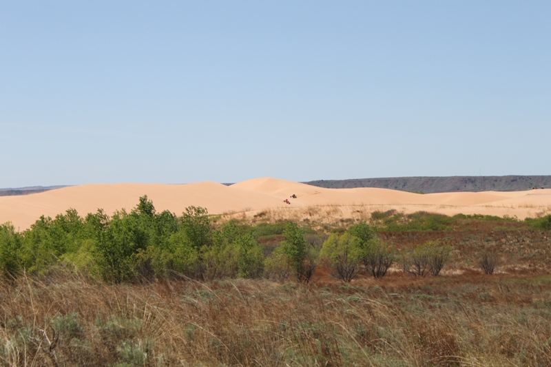
Sand dunes cover the landscape here, built up from terrace deposits left behind when the Cimarron River once spread across the entire area. The park's alternate name, Waynoka Dunes, points to the town on its other side, and its more common name reflects the visual likeness to the Sahara Desert. What visitors find is a stretch of shifting sand shaped by that ancient river system rather than by an ocean or coastline.
Hours, fees, camping, reservations and closures are set by the park and change often. Check the official park site before you go.
Getting there
Little Sahara State Park is in Woods County, Oklahoma, 19.1 miles east of Mooreland. The Directions button takes you to the park's mapped location; the entrance may be elsewhere, so check the official site for the address to use.
State parks near Little Sahara State Park
Within 60 miles, closest first, straight-line. All 40 in Oklahoma →
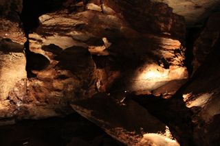 Alabaster Caverns State ParkState Park · Woodward County, OK19 miNW
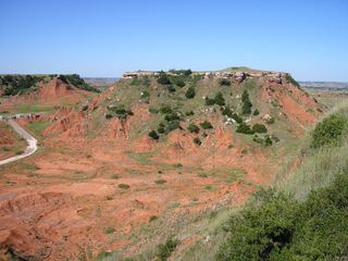 Gloss Mountain State ParkState Park · Major County, OK20 miSE
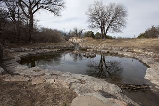 Boiling Springs State ParkState Park · Woodward County, OK24 miW
- Great Salt Plains State ParkState Park · Alfalfa County, OK43 miE
 Roman Nose State ParkState Park · Blaine County, OK48 miSE
Towns near Little Sahara State Park
Facts from Wikidata, checked September 25, 2026. Distances are straight-line.