State Park · Oregon
Illinois River Forks State Park
- Location
- Josephine County, Oregon
- Nearest town
- 0.7 miles southwest of Cave Junction
- Type
- State Park
About Illinois River Forks State Park
About 400 acres span the confluence area of the Illinois River, with roughly 170 acres sitting between the river's two forks and the rest lying to the west. The section between the forks, reached from Highway 199, has paved parking, grass lawns, picnic tables, outhouses, and a swimming hole. The west side, entered from Westside Road, holds the West Side Trailhead with close to seven miles of natural-surface trails for hiking and horseback riding, along with gravel parking, a separate area for horse trailers, a vault toilet, and a kiosk showing the trail system.
Hours, fees, camping, reservations and closures are set by the park and change often. Check the official park site before you go.
Getting there
Illinois River Forks State Park is in Josephine County, Oregon, 0.7 miles southwest of Cave Junction. The Directions button takes you to the park's mapped location; the entrance may be elsewhere, so check the official site for the address to use.
State parks near Illinois River Forks State Park
Within 60 miles, closest first, straight-line. All 137 in Oregon →
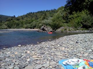 Alfred A. Loeb State ParkState Park · Curry County, OR27 miW
- Winchuck State Recreation SiteState Recreation Area · Curry County, OR30 miW
- Crissey Field State Recreation SiteState Recreation Area · Curry County, OR30 miW
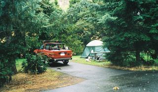 Valley of the Rogue State ParkState Park · Jackson County, OR31 miNE
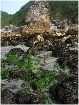 Harris Beach State ParkState Park · Curry County, OR34 miW
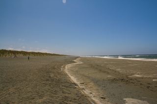 Tolowa Dunes State ParkState Park · Del Norte County, CA34 miSW
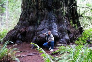 Jedediah Smith Redwoods State ParkState Park · Del Norte County, CA34 miSW
- Golden State Heritage SiteState Historic Site · Josephine County, OR40 miNE
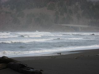 Del Norte Coast Redwoods State ParkState Park · Del Norte County, CA41 miSW
Towns near Illinois River Forks State Park
Facts from Wikidata, checked September 25, 2026. Distances are straight-line.