State Park · Pennsylvania
Laurel Ridge State Park
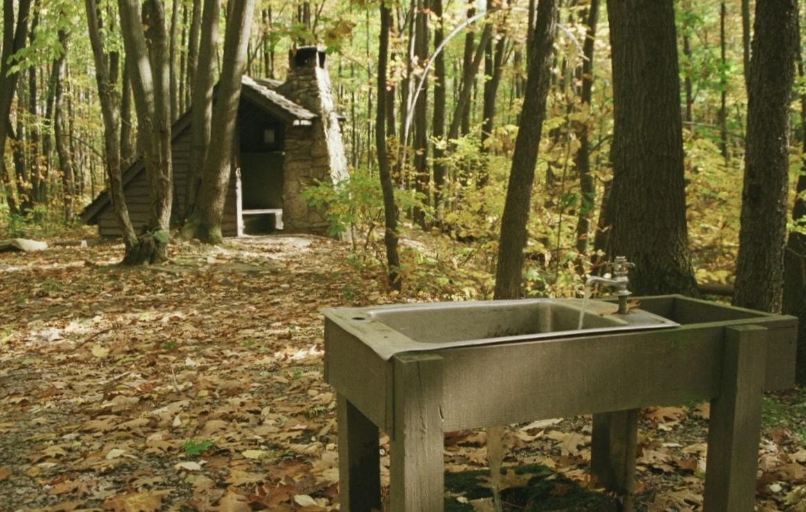
- Location
- Fayette County, Pennsylvania
- Nearest town
- 11.8 miles east of South Connellsville
- Type
- State Park
About Laurel Ridge State Park
A 70-mile corridor of forested ridgeline runs through the park, spanning parcels in four counties: Cambria, Fayette, Somerset, and Westmoreland. In total the park covers 13,625 acres, making it one of Pennsylvania's larger state park holdings. The land protected here stretches across the Laurel Ridge itself, giving the park its name and its defining geographic feature.
Hours, fees, camping, reservations and closures are set by the park and change often. Check the official park site before you go.
Getting there
Laurel Ridge State Park is in Fayette County, Pennsylvania, 11.8 miles east of South Connellsville. The Directions button takes you to the park's mapped location; the entrance may be elsewhere, so check the official site for the address to use.
State parks near Laurel Ridge State Park
Within 60 miles, closest first, straight-line. All 114 in Pennsylvania →
 Laurel Hill State ParkState Park · Somerset County, PA7.0 miNE
 Ohiopyle State ParkState Park · Fayette County, PA8.6 miSW
 Kooser State ParkState Park · Somerset County, PA10 miNE
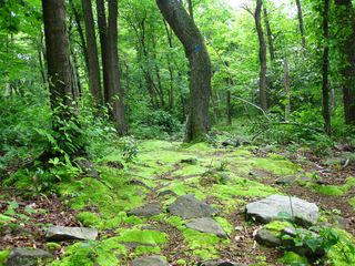 Laurel Summit State ParkState Park · Somerset County, PA15 miNE
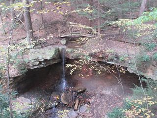 Linn Run State ParkState Park · Westmoreland County, PA16 miNE
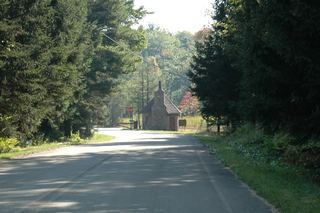 Laurel Mountain State ParkState Park · Westmoreland County, PA18 miNE
- Casselman River Bridge State ParkState Park · Garrett County, MD22 miSE
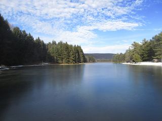 New Germany State ParkState Park · Garrett County, MD26 miSE
- Sang Run State ParkState Park · Garrett County, MD27 miS
Towns near Laurel Ridge State Park
State parks near Johnstown, State parks near Murrysville, State parks near Cumberland, State parks near Morgantown, State parks near Pittsburgh, State parks near Indiana
Facts from Wikidata, checked September 25, 2026. Distances are straight-line.