State Park · Pennsylvania
Ohiopyle State Park
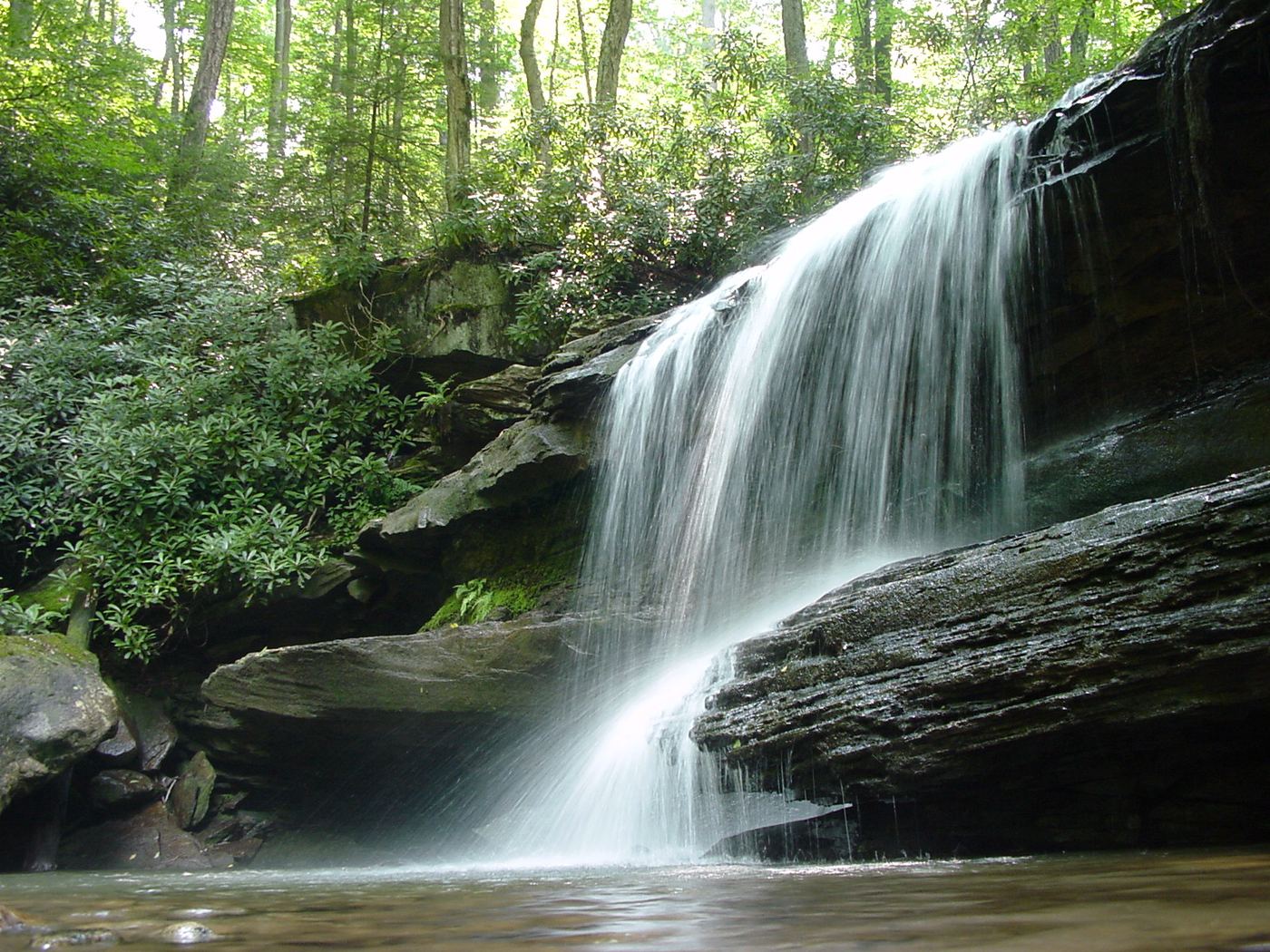
- Location
- Fayette County, Pennsylvania
- Nearest town
- 13.4 miles southeast of South Connellsville
- Type
- State Park
About Ohiopyle State Park
More than 14 miles of the Youghiogheny River gorge cuts through this 20,500-acre park, running between Chestnut Ridge and Laurel Hill across Dunbar, Henry Clay, and Stewart Townships. The gorge draws whitewater boaters, kayakers, and anglers to the river. Pennsylvania Route 381 splits the park south of the Pennsylvania Turnpike. It opened to visitors in 1965, though the official dedication did not come until 1971.
Hours, fees, camping, reservations and closures are set by the park and change often. Check the official park site before you go.
Getting there
Ohiopyle State Park is in Fayette County, Pennsylvania, 13.4 miles southeast of South Connellsville. The Directions button takes you to the park's mapped location; the entrance may be elsewhere, so check the official site for the address to use.
State parks near Ohiopyle State Park
Within 60 miles, closest first, straight-line. All 114 in Pennsylvania →
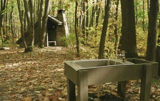 Laurel Ridge State ParkState Park · Fayette County, PA8.6 miNE
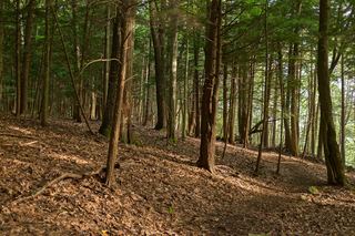 Laurel Hill State ParkState Park · Somerset County, PA15 miNE
- Casselman River Bridge State ParkState Park · Garrett County, MD18 miSE
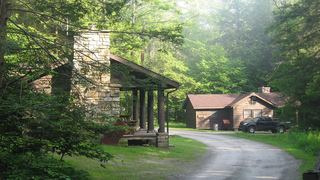 Kooser State ParkState Park · Somerset County, PA19 miNE
- Sang Run State ParkState Park · Garrett County, MD19 miS
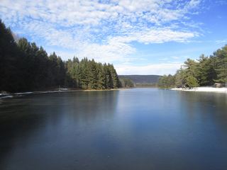 New Germany State ParkState Park · Garrett County, MD22 miSE
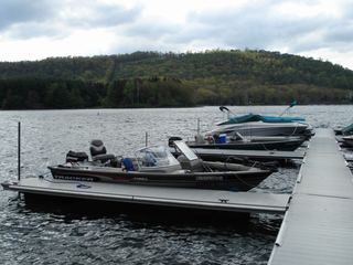 Deep Creek Lake State ParkState Park · Garrett County, MD23 miS
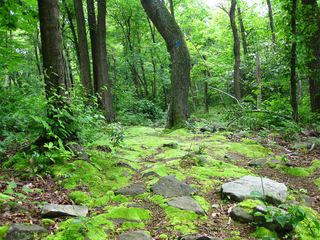 Laurel Summit State ParkState Park · Somerset County, PA24 miNE
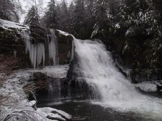 Swallow Falls State ParkState Park · Garrett County, MD24 miS
Towns near Ohiopyle State Park
State parks near Morgantown, State parks near Cumberland, State parks near Murrysville, State parks near Johnstown, State parks near Washington
Facts from Wikidata, checked September 25, 2026. Distances are straight-line.