State Park · Wisconsin
Copper Falls State Park
- Location
- Ashland County, Wisconsin
- Nearest town
- 18.8 miles southeast of Ashland
- Type
- State Park
About Copper Falls State Park
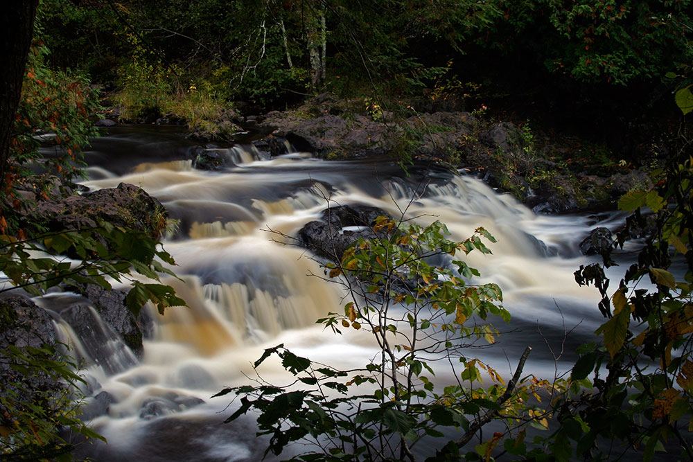
The Bad River and its tributary, the Tylers Forks, cut through a gorge here and drop over several waterfalls, forming the park's central feature. The area was once mined for copper, first by Old Copper complex peoples and later by European settlers. Its trails, buildings, and other amenities were built by the Civilian Conservation Corps and the Works Progress Administration, and in 2005 the park was added to the National Register of Historic Places for ten contributing structures.
Hours, fees, camping, reservations and closures are set by the park and change often. Check the official park site before you go.
Getting there
Copper Falls State Park is in Ashland County, Wisconsin, 18.8 miles southeast of Ashland. The Directions button takes you to the park's mapped location; the entrance may be elsewhere, so check the official site for the address to use.
State parks near Copper Falls State Park
Within 60 miles, closest first, straight-line. All 48 in Wisconsin →

Facts from Wikidata, checked September 25, 2026. Distances are straight-line.