State Park · Arizona
Oracle State Park
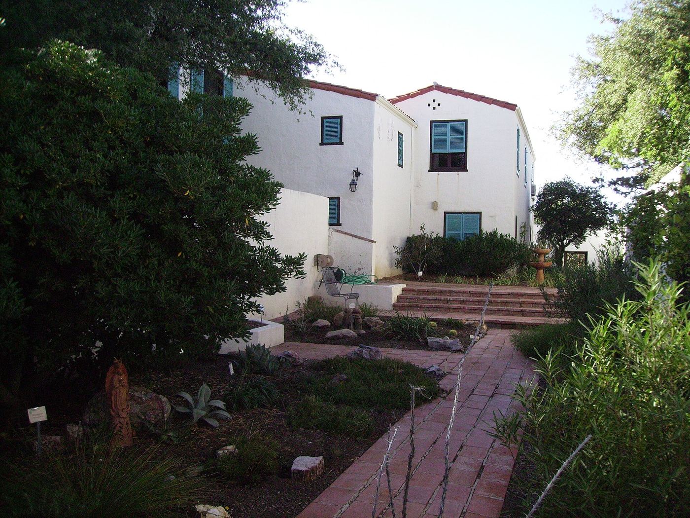
- Location
- Pinal County, Arizona
- Nearest town
- 3.1 miles east of San Manuel
- Type
- State Park
About Oracle State Park
The Santa Catalina Mountains' northeastern foothills hold 3,948 acres set aside as a wildlife refuge. More than 15 miles of hiking trails cross the property, including a 7 mile stretch of the Arizona Trail. The land takes its name from the nearby town of Oracle rather than from any feature within its boundaries.
Hours, fees, camping, reservations and closures are set by the park and change often. Check the official park site before you go.
Getting there
Oracle State Park is in Pinal County, Arizona, 3.1 miles east of San Manuel. The Directions button takes you to the park's mapped location; the entrance may be elsewhere, so check the official site for the address to use.
State parks near Oracle State Park
Within 60 miles, closest first, straight-line. All 26 in Arizona →
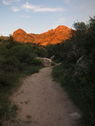 Catalina State ParkState Park · Pima County, AZ22 miSW
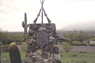 Picacho Peak State ParkState Park · Pinal County, AZ49 miW
- Dankworth Pond State ParkState Park · Graham County, AZ52 miE
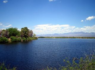 Roper Lake State ParkState Park · Graham County, AZ52 miE
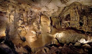 Kartchner Caverns State ParkState Park · Cochise County, AZ54 miS
- McFarland State Historic ParkState Historic Site · Pinal County, AZ56 miNW
Towns near Oracle State Park
State parks near Saddlebrooke, State parks near Tucson, State parks near Vail, State parks near Marana, State parks near Sahuarita
Facts from Wikidata, checked September 25, 2026. Distances are straight-line.