State Park · Arizona
Picacho Peak State Park
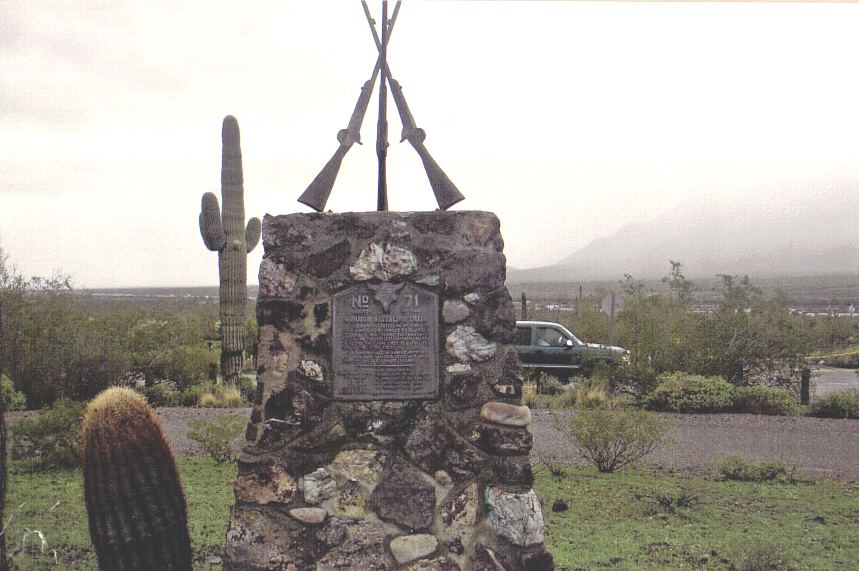
- Location
- Pinal County, Arizona
- Nearest town
- 11.8 miles southeast of Eloy
- Type
- State Park
About Picacho Peak State Park
A rocky spire rises to 3,374 feet within the park's boundaries and can be seen from downtown Tucson, some 45 miles away. Once thought to be the remains of a volcanic neck, geologists now consider it a tilted, eroded block of rock capped by a lava flow. The formation sits near Interstate 10, between Casa Grande and Tucson.
Hours, fees, camping, reservations and closures are set by the park and change often. Check the official park site before you go.
Getting there
Picacho Peak State Park is in Pinal County, Arizona, 11.8 miles southeast of Eloy. The Directions button takes you to the park's mapped location; the entrance may be elsewhere, so check the official site for the address to use.
State parks near Picacho Peak State Park
Within 60 miles, closest first, straight-line. All 26 in Arizona →
Towns near Picacho Peak State Park
State parks near Marana, State parks near Casa Grande, State parks near Saddlebrooke, State parks near San Tan Valley, State parks near Tucson, State parks near Maricopa
Facts from Wikidata, checked September 25, 2026. Distances are straight-line.