State Park · Arizona
Catalina State Park
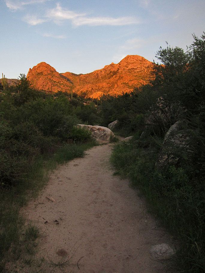
- Location
- Pima County, Arizona
- Nearest town
- 4.8 miles northeast of Oro Valley
- Type
- State Park
About Catalina State Park
Nearly 5,000 saguaros and other desert plants grow across the 5,500 acres of foothills and canyons that make up this park, set at the base of the Santa Catalina Mountains. At an elevation of almost 3,000 feet, the land supports more than 150 species and offers miles of trails used for hiking, camping, and bird watching.
Hours, fees, camping, reservations and closures are set by the park and change often. Check the official park site before you go.
Getting there
Catalina State Park is in Pima County, Arizona, 4.8 miles northeast of Oro Valley. The Directions button takes you to the park's mapped location; the entrance may be elsewhere, so check the official site for the address to use.
State parks near Catalina State Park
Within 60 miles, closest first, straight-line. All 26 in Arizona →
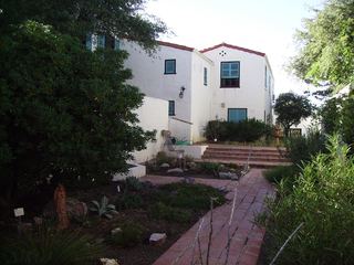 Oracle State ParkState Park · Pinal County, AZ22 miNE
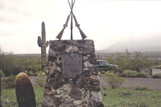 Picacho Peak State ParkState Park · Pinal County, AZ33 miNW
- McFarland State Historic ParkState Historic Site · Pinal County, AZ50 miNW
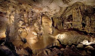 Kartchner Caverns State ParkState Park · Cochise County, AZ53 miSE
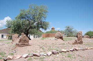 Tubac Presidio State Historic ParkState Historic Site · Santa Cruz County, AZ58 miS
Towns near Catalina State Park
State parks near Saddlebrooke, State parks near Tucson, State parks near Marana, State parks near Vail, State parks near Sahuarita
Facts from Wikidata, checked September 25, 2026. Distances are straight-line.