State Park · Arkansas
Logoly State Park
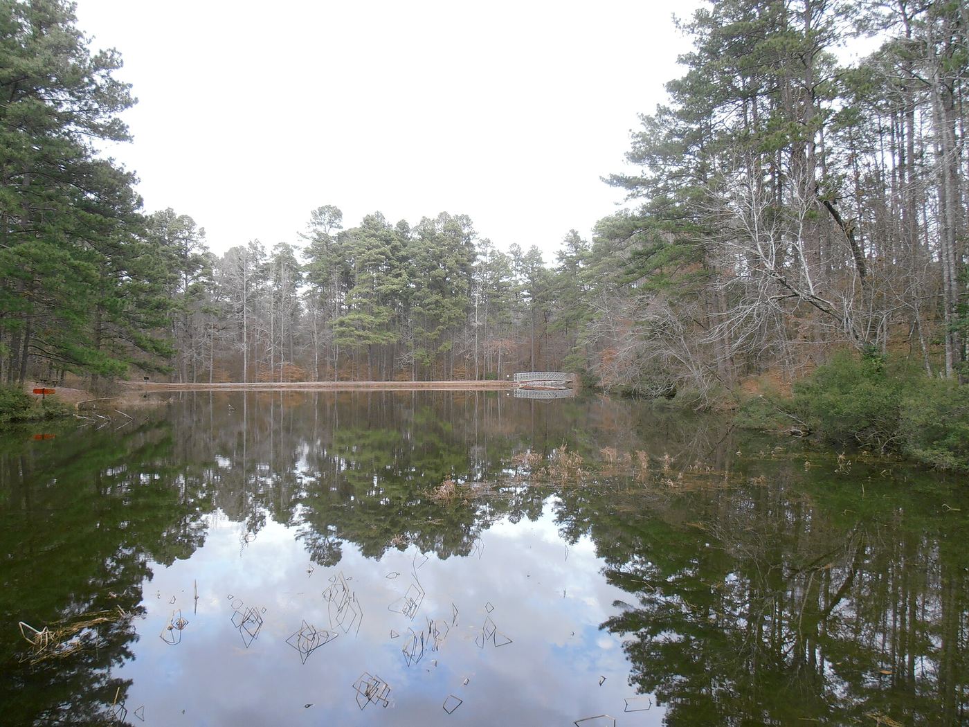
- Location
- Columbia County, Arkansas
- Nearest town
- 6.1 miles northeast of Magnolia
- Type
- State Park
About Logoly State Park
Mineral springs known for more than a hundred years form the center of this 368-acre park in the Gulf Coastal Plain. The land surrounds those springs, protecting the area where they emerge in southwestern Arkansas. It sits off U.S. Route 79 on Logoly Road, close to the small community of McNeil.
Hours, fees, camping, reservations and closures are set by the park and change often. Check the official park site before you go.
Getting there
Logoly State Park is in Columbia County, Arkansas, 6.1 miles northeast of Magnolia. The Directions button takes you to the park's mapped location; the entrance may be elsewhere, so check the official site for the address to use.
State parks near Logoly State Park
Within 60 miles, closest first, straight-line. All 41 in Arkansas →
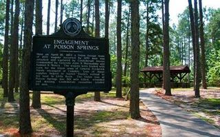 Poison Springs Battleground State ParkState Park · Ouachita County, AR23 miNE
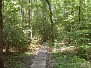 White Oak Lake State ParkState Park · Nevada County, AR24 miN
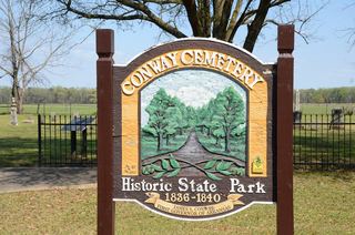 Conway Cemetery State ParkState Park · Lafayette County, AR33 miSW
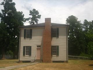 Historic Washington State ParkState Park · Hempstead County, AR41 miNW
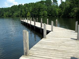 Lake Claiborne State ParkState Park · Claiborne Parish, LA46 miS
- Moro Bay State ParkState Park · Bradley County, AR49 miE
- Millwood State ParkState Park · Little River County, AR52 miNW
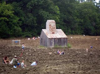 Crater of Diamonds State ParkState Park · Pike County, AR55 miNW
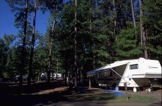 Lake D'Arbonne State ParkState Park · Union Parish, LA56 miSE
Towns near Logoly State Park
State parks near Magnolia, State parks near Camden, State parks near El Dorado, State parks near Texarkana
Facts from Wikidata, checked September 25, 2026. Distances are straight-line.