State Park · Arkansas
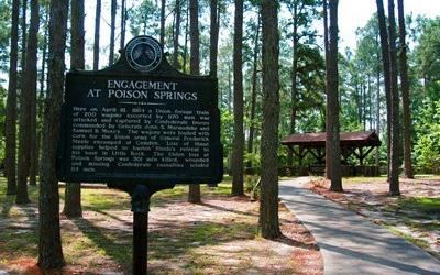
Poison Springs Battleground State Park
- Location
- Ouachita County, Arkansas
- Nearest town
- 10.5 miles west of Camden
- Type
- State Park
About Poison Springs Battleground State Park
1864 marks the Camden Expedition action commemorated here, when Union forces moving toward Shreveport and Texas fought the Battle of Poison Spring during the American Civil War. The ground preserves that engagement's site, situated southeast of Bluff City. What visitors find is a battlefield tied to a specific military campaign, not a lake or a trail system, its purpose tied directly to that history.
Hours, fees, camping, reservations and closures are set by the park and change often. Check the official park site before you go.
Getting there
Poison Springs Battleground State Park is in Ouachita County, Arkansas, 10.5 miles west of Camden. The Directions button takes you to the park's mapped location; the entrance may be elsewhere, so check the official site for the address to use.
State parks near Poison Springs Battleground State Park
Within 60 miles, closest first, straight-line. All 41 in Arkansas →
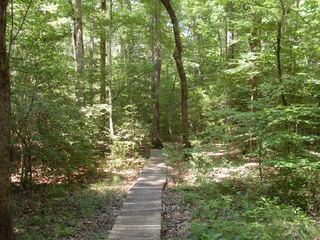 White Oak Lake State ParkState Park · Nevada County, AR7.2 miNW
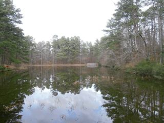 Logoly State ParkState Park · Columbia County, AR23 miSW
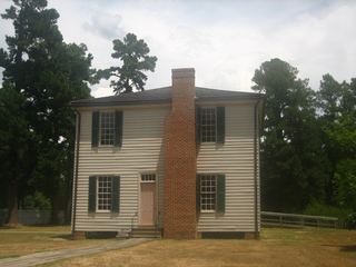 Historic Washington State ParkState Park · Hempstead County, AR40 miW
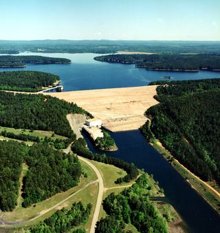 DeGray Lake Resort State ParkState Park · Hot Spring County, AR43 miN
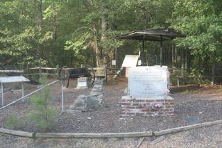 Marks’ Mills Battleground State ParkState Park · Cleveland County, AR44 miE
- Moro Bay State ParkState Park · Bradley County, AR45 miSE
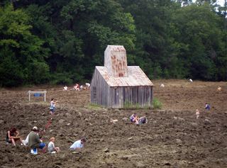 Crater of Diamonds State ParkState Park · Pike County, AR47 miNW
- Jenkins' Ferry Battleground State ParkState Park · Grant County, AR48 miNE
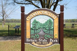 Conway Cemetery State ParkState Park · Lafayette County, AR54 miSW
Towns near Poison Springs Battleground State Park
State parks near Camden, State parks near Magnolia, State parks near Arkadelphia, State parks near El Dorado
Facts from Wikidata, checked September 25, 2026. Distances are straight-line.