State Park · Arkansas
Petit Jean State Park
- Location
- Conway County, Arkansas
- Nearest town
- 9.1 miles south of Atkins
- Type
- State Park
About Petit Jean State Park
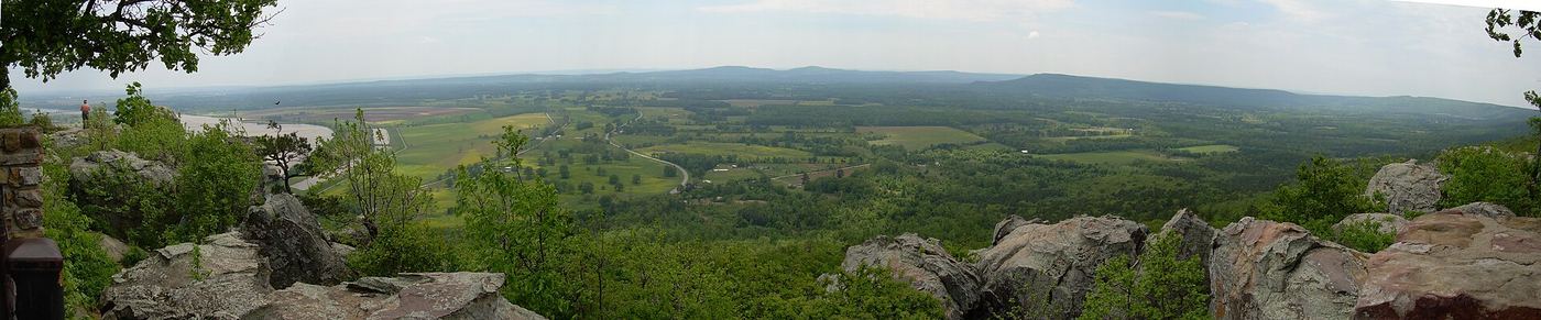
3,471 acres of land sit atop Petit Jean Mountain, bordered by the Arkansas River below and situated in the transition zone between the Ouachita Mountains and the Ozark Plateaus. The park was established in 1923 and is managed by the Arkansas Department of Parks and Tourism. Its location on the mountaintop places it in the landscape belt where these two upland regions meet.
Hours, fees, camping, reservations and closures are set by the park and change often. Check the official park site before you go.
Getting there
Petit Jean State Park is in Conway County, Arkansas, 9.1 miles south of Atkins. The Directions button takes you to the park's mapped location; the entrance may be elsewhere, so check the official site for the address to use.
State parks near Petit Jean State Park
Within 60 miles, closest first, straight-line. All 41 in Arkansas →
- Lake Dardanelle State ParkState Park · Pope County, AR19 miNW
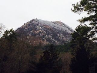 Pinnacle Mountain State ParkState Park · Pulaski County, AR32 miSE
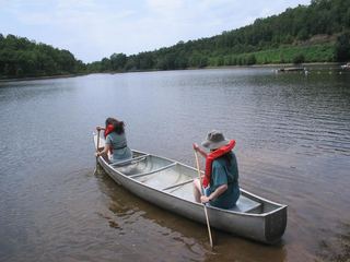 Woolly Hollow State ParkState Park · Faulkner County, AR39 miE
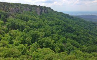 Mount Magazine State ParkState Park · Logan County, AR39 miW
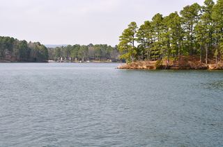 Lake Catherine State ParkState Park · Hot Spring County, AR47 miS
Towns near Petit Jean State Park
State parks near Russellville, State parks near Conway, State parks near Hot Springs, State parks near Benton, State parks near Little Rock
Facts from Wikidata, checked September 25, 2026. Distances are straight-line.