State Park · California
Andrew Molera State Park
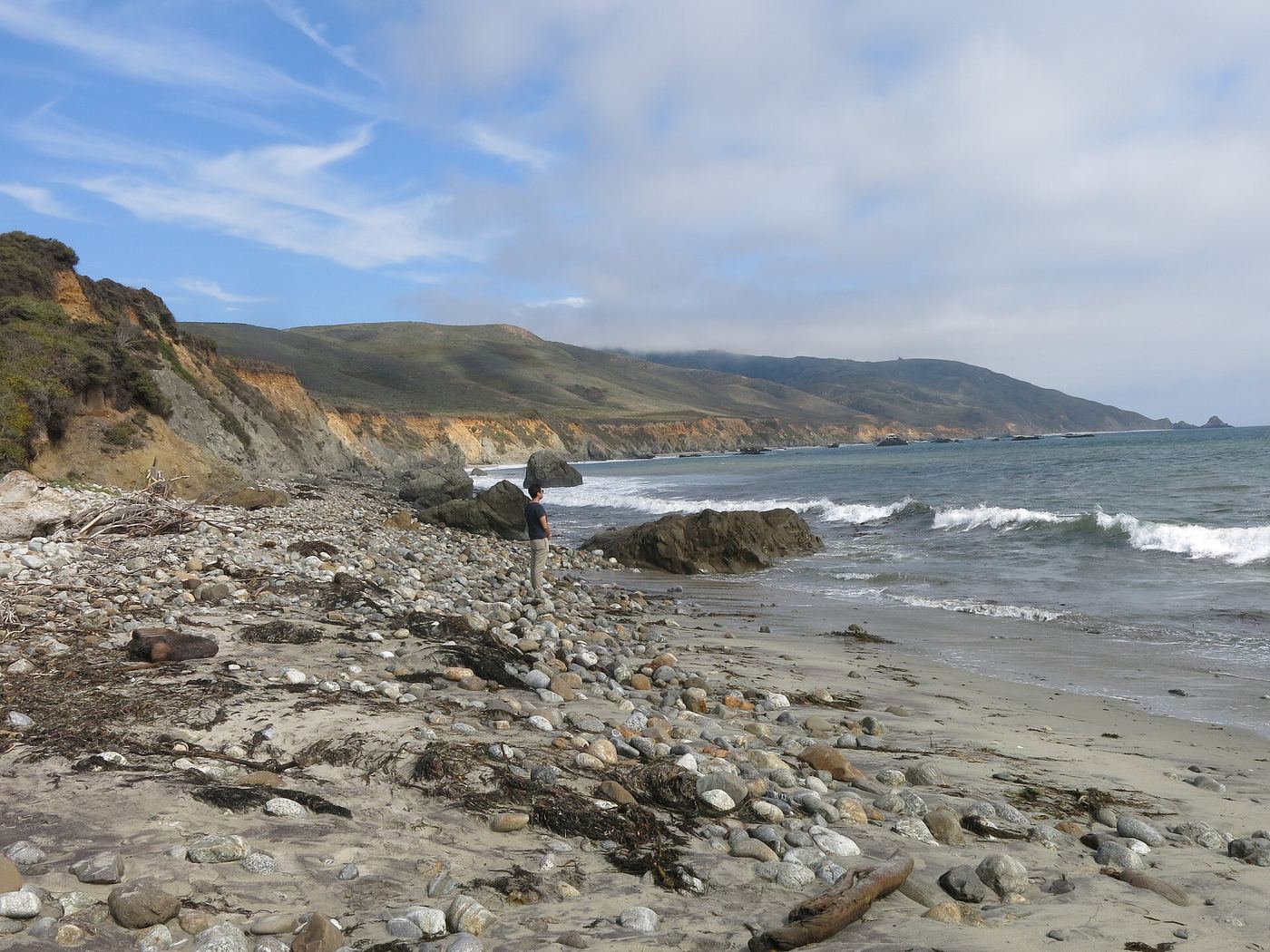
- Location
- Monterey County, California
- Nearest town
- 15.8 miles south of Carmel Valley Village
- Type
- State Park
About Andrew Molera State Park
Roughly 7.5 square miles of largely undeveloped coastline make up this park, sitting where the Big Sur River meets the sea. The land was once part of the Rancho El Sur land grant, later held by Californio pioneer John Bautista Rogers Cooper and passed down to his grandchildren Andrew and Frances Molera in 1918. Frances sold the property to The Nature Conservancy in 1965 on the condition that the resulting park carry her brother's name, since Andrew, who had helped popularize the artichoke in California, had died in 1931.
Hours, fees, camping, reservations and closures are set by the park and change often. Check the official park site before you go.
Getting there
Andrew Molera State Park is in Monterey County, California, 15.8 miles south of Carmel Valley Village. The Directions button takes you to the park's mapped location; the entrance may be elsewhere, so check the official site for the address to use.
State parks near Andrew Molera State Park
Within 60 miles, closest first, straight-line. All 213 in California →
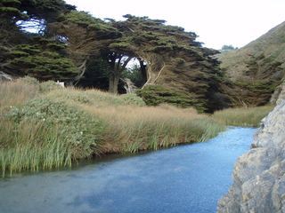 Pfeiffer Big Sur State ParkState Park · Monterey County, CA3.8 miSE
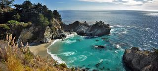 Julia Pfeiffer Burns State ParkState Park · Monterey County, CA12 miSE
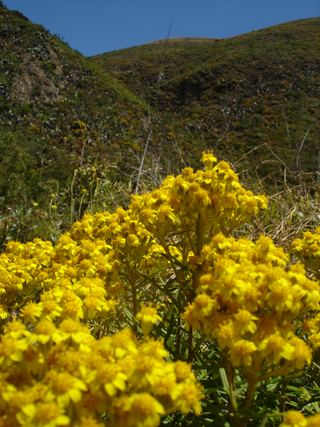 Garrapata State ParkState Park · Monterey County, CA14 miN
- Ishxenta State ParkState Park · Monterey County, CA17 miN
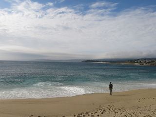 Carmel River State BeachState Beach · Monterey County, CA18 miN
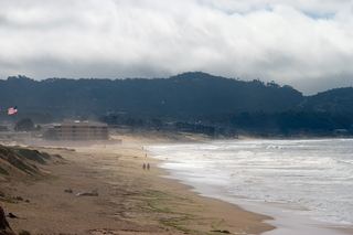 Monterey State BeachState Beach · Monterey County, CA22 miN
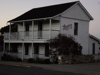 Monterey State Historic ParkState Historic Site · Monterey County, CA22 miN
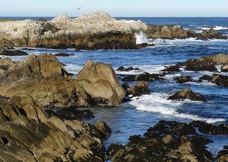 Asilomar State BeachState Beach · Monterey County, CA24 miN
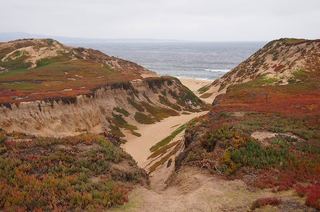 Fort Ord Dunes State ParkState Park · Monterey County, CA26 miN
Towns near Andrew Molera State Park
State parks near Pacific Grove, State parks near Salinas, State parks near Soledad, State parks near King City, State parks near Watsonville, State parks near Hollister
Facts from Wikidata, checked September 25, 2026. Distances are straight-line.