State Beach · California
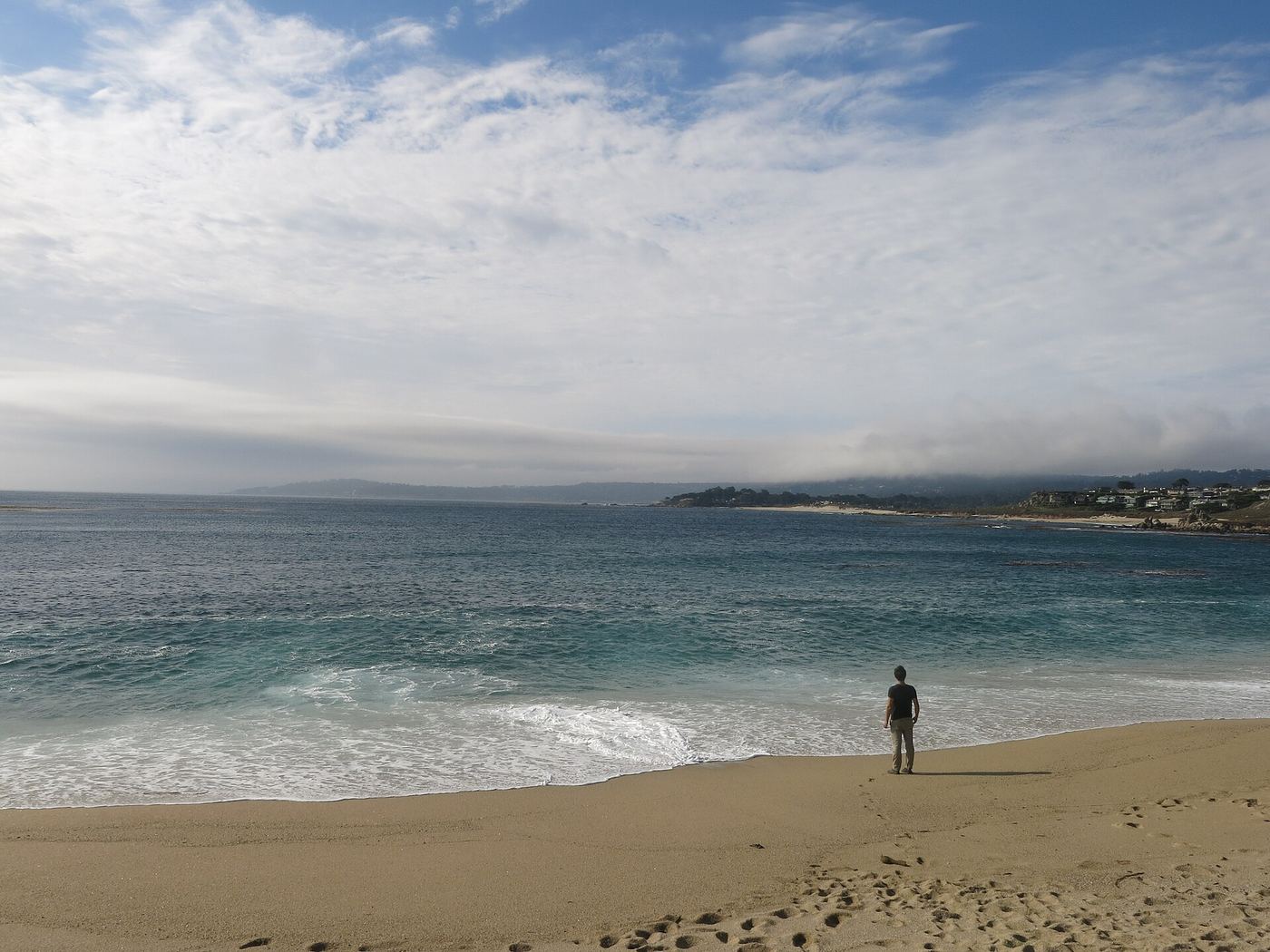
Carmel River State Beach
- Location
- Monterey County, California
- Nearest town
- 1.6 miles south of Carmel-by-the-Sea
- Type
- State Beach
About Carmel River State Beach
A 1-mile stretch of protected shoreline sits where the Carmel River empties into the ocean, forming a lagoon that draws migratory birds. Within its 297 acres the park also takes in Mara Beach and Monastery Beach, the latter a spot favored by scuba divers, while sea kayakers use the beach too and can reach the adjoining Point Lobos reserves nearby. The land was set aside as a park in 1953.
Hours, fees, camping, reservations and closures are set by the park and change often. Check the official park site before you go.
Getting there
Carmel River State Beach is in Monterey County, California, 1.6 miles south of Carmel-by-the-Sea. The Directions button takes you to the park's mapped location; the entrance may be elsewhere, so check the official site for the address to use.
State parks near Carmel River State Beach
Within 60 miles, closest first, straight-line. All 213 in California →
- Ishxenta State ParkState Park · Monterey County, CA1.2 miS
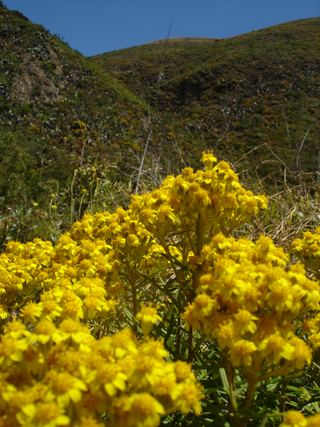 Garrapata State ParkState Park · Monterey County, CA4.4 miS
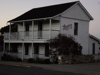 Monterey State Historic ParkState Historic Site · Monterey County, CA5.0 miN
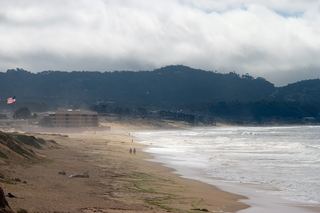 Monterey State BeachState Beach · Monterey County, CA5.3 miNE
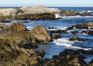 Asilomar State BeachState Beach · Monterey County, CA6.1 miN
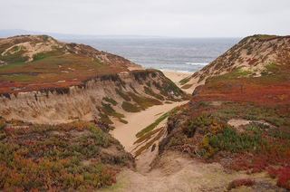 Fort Ord Dunes State ParkState Park · Monterey County, CA10 miNE
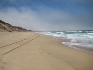 Marina State BeachState Beach · Monterey County, CA12 miNE
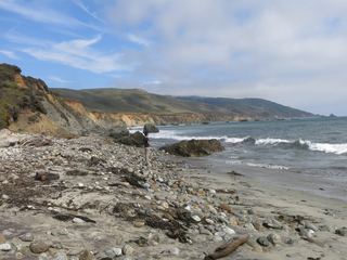 Andrew Molera State ParkState Park · Monterey County, CA18 miS
 Moss Landing State BeachState Beach · Monterey County, CA21 miN
Towns near Carmel River State Beach
State parks near Pacific Grove, State parks near Salinas, State parks near Watsonville, State parks near Santa Cruz, State parks near Soledad, State parks near Hollister
Facts from Wikidata, checked September 25, 2026. Distances are straight-line.