State Park · California
Henry W. Coe State Park
- Location
- Santa Clara County, California
- Nearest town
- 7.2 miles northeast of Morgan Hill
- Type
- State Park
About Henry W. Coe State Park
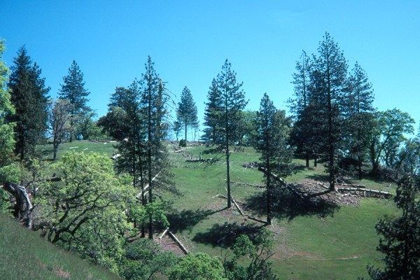
Over 87,000 acres of the Diablo Range fall within this park's boundaries, ranking it as the largest state park in the northern part of California and second-largest statewide. Within that expanse lies a roughly 22,000-acre wilderness zone, formally called the Henry W. Coe State Wilderness though residents refer to it as the Orestimba Wilderness. The park's total footprint reaches 89,164 acres, straddling Santa Clara and Stanislaus counties.
Hours, fees, camping, reservations and closures are set by the park and change often. Check the official park site before you go.
Getting there
Henry W. Coe State Park is in Santa Clara County, California, 7.2 miles northeast of Morgan Hill. The Directions button takes you to the park's mapped location; the entrance may be elsewhere, so check the official site for the address to use.
State parks near Henry W. Coe State Park
Within 60 miles, closest first, straight-line. All 213 in California →
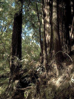 The Forest of Nisene Marks State ParkState Park · Santa Cruz County, CA21 miSW
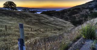 Pacheco State ParkState Park · Merced County, CA22 miSE
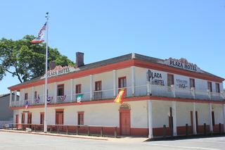 San Juan Bautista State Historic ParkState Historic Site · San Benito County, CA24 miS
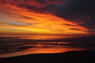 Manresa State BeachState Beach · Santa Cruz County, CA25 miSW
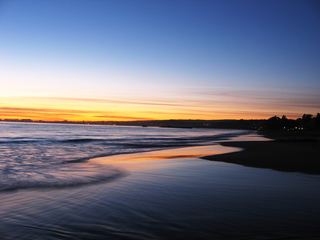 Seacliff State BeachState Beach · Santa Cruz County, CA25 miSW
- San Luis Reservoir State Recreation AreaState Recreation Area · Merced County, CA26 miE
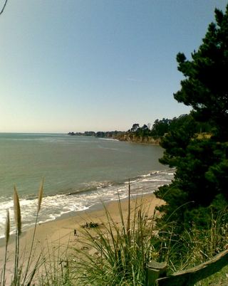 New Brighton State BeachState Beach · Santa Cruz County, CA26 miSW
 Sunset State BeachState Beach · Santa Cruz County, CA26 miSW
- Zmudowski State BeachState Beach · Monterey County, CA28 miSW
Towns near Henry W. Coe State Park
State parks near Morgan Hill, State parks near San Jose, State parks near Watsonville, State parks near Hollister, State parks near Newman, State parks near Santa Cruz
Facts from Wikidata, checked September 25, 2026. Distances are straight-line.