State Beach · California
Marina State Beach
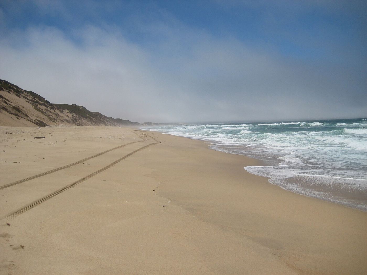
- Location
- Monterey County, California
- Nearest town
- 0.6 miles west of Marina
- Type
- State Beach
About Marina State Beach
Protection of this stretch of Monterey Bay shoreline in 1977 kept the sand and dunes here as public open space. The park consists of a beach fronting the bay, giving access to the water and shoreline within the city limits of Marina. It offers a coastal stretch without built attractions such as piers or lighthouses, just the beach itself as the main feature.
Hours, fees, camping, reservations and closures are set by the park and change often. Check the official park site before you go.
Getting there
Marina State Beach is in Monterey County, California, 0.6 miles west of Marina. The Directions button takes you to the park's mapped location; the entrance may be elsewhere, so check the official site for the address to use.
State parks near Marina State Beach
Within 60 miles, closest first, straight-line. All 213 in California →
 Fort Ord Dunes State ParkState Park · Monterey County, CA2.1 miS
 Monterey State BeachState Beach · Monterey County, CA7.0 miSW
 Monterey State Historic ParkState Historic Site · Monterey County, CA7.3 miSW
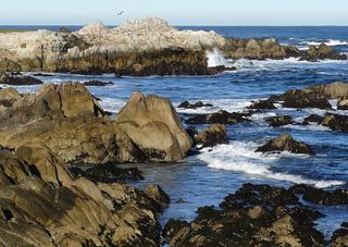 Asilomar State BeachState Beach · Monterey County, CA8.2 miSW
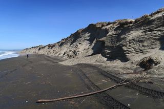 Moss Landing State BeachState Beach · Monterey County, CA9.0 miN
- Zmudowski State BeachState Beach · Monterey County, CA11 miN
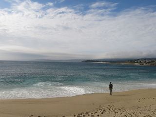 Carmel River State BeachState Beach · Monterey County, CA12 miSW
- Ishxenta State ParkState Park · Monterey County, CA13 miSW
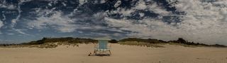 Sunset State BeachState Beach · Santa Cruz County, CA14 miN
Towns near Marina State Beach
State parks near Pacific Grove, State parks near Salinas, State parks near Watsonville, State parks near Santa Cruz, State parks near Hollister, State parks near Morgan Hill
Facts from Wikidata, checked September 25, 2026. Distances are straight-line.