State Park · California
McNee Ranch State Park
- Location
- San Mateo County, California
- Nearest town
- 1.4 miles northeast of Montara
- Type
- State Park
About McNee Ranch State Park
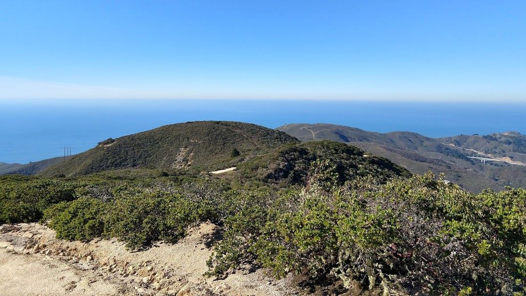
An unpaved route, North Peak Access Road, climbs from Pedro Mountain Road to a summit of 1,898 feet, the highest point on this 690-acre ranch. The lower slopes sit on serpentine soils that support endangered plants, including Hickman's potentilla and San Mateo thornmint. On clear days the summit gives views across much of the San Francisco Bay Area, and light snow has occasionally reached the top.
Hours, fees, camping, reservations and closures are set by the park and change often. Check the official park site before you go.
Getting there
McNee Ranch State Park is in San Mateo County, California, 1.4 miles northeast of Montara. The Directions button takes you to the park's mapped location; the entrance may be elsewhere, so check the official site for the address to use.
State parks near McNee Ranch State Park
Within 60 miles, closest first, straight-line. All 213 in California →
 Gray Whale Cove State BeachState Beach · San Mateo County, CA0.9 miNW
 Montara State BeachState Beach · San Mateo County, CA1.0 miSW
 Pacifica State BeachState Beach · San Mateo County, CA2.9 miN
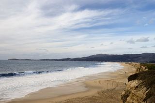 Half Moon Bay State BeachState Beach · San Mateo County, CA6.5 miSE
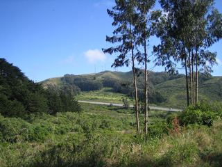 San Bruno Mountain State ParkState Park · San Mateo County, CA9.5 miN
- James D. Phelan Beach State ParkState Park · San Francisco County, CA16 miN
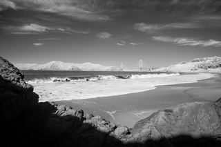 Baker Beach State ParkState Park · San Francisco County, CA16 miN
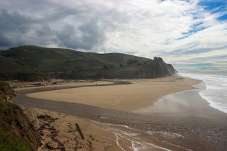 San Gregorio State BeachState Beach · San Mateo County, CA17 miS
 Pomponio State BeachState Beach · San Mateo County, CA19 miS
Towns near McNee Ranch State Park
State parks near San Mateo, State parks near San Francisco, State parks near Fremont, State parks near San Rafael, State parks near San Jose, State parks near Concord
Facts from Wikidata, checked September 25, 2026. Distances are straight-line.