State Park · California
Montaña de Oro State Park
- Location
- San Luis Obispo County, California
- Nearest town
- 3.7 miles southwest of Los Osos
- Type
- State Park
About Montaña de Oro State Park
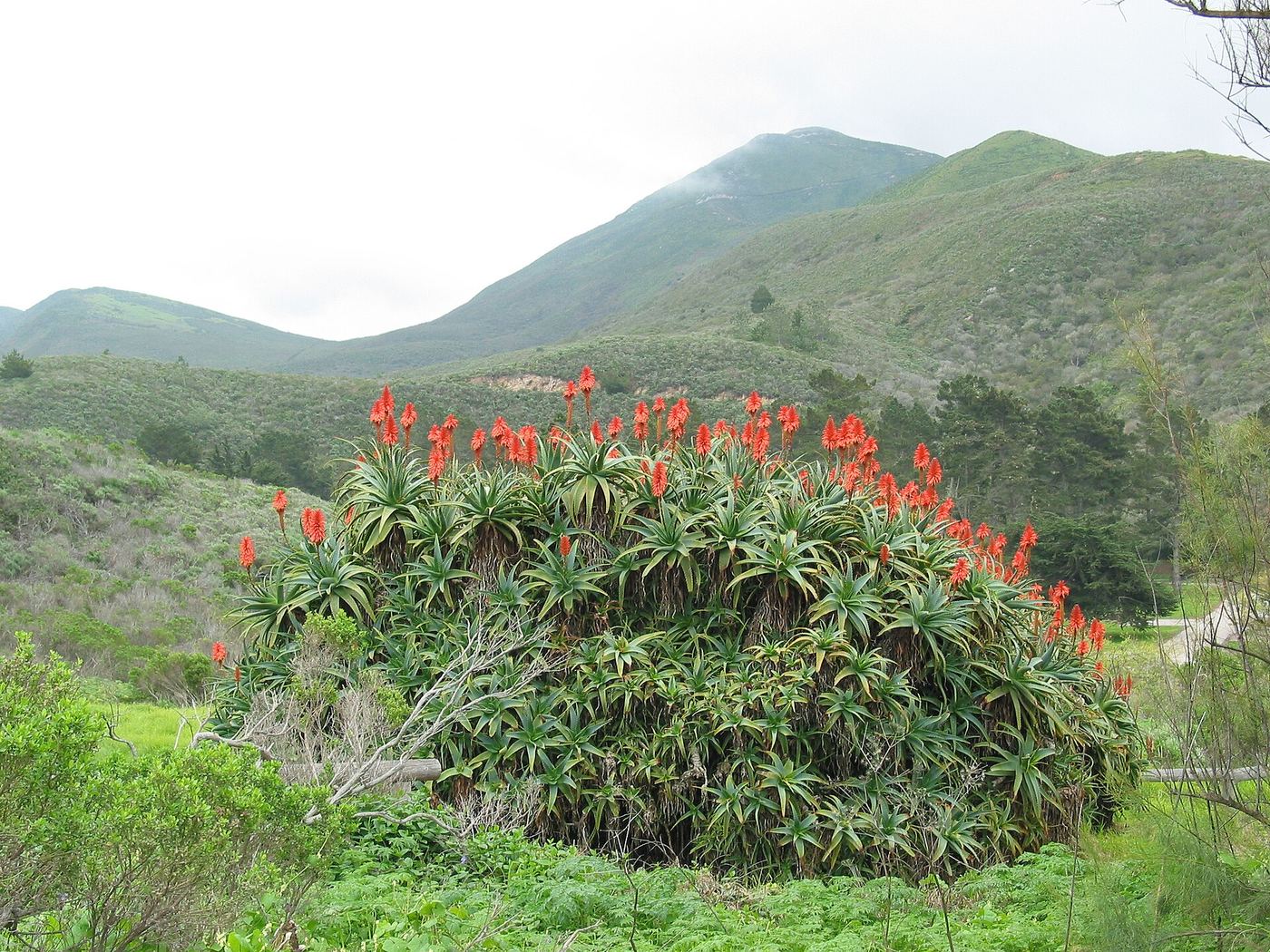
Cliffs drop straight down to the Pacific along this stretch of coastline, giving way to sandy beach and tide pools below. The land sits on the Central Coast between Morro Bay and Los Osos, protecting a run of shoreline, bluffs and dunes. Its Spanish name, meaning mountain of gold, refers to the wildflowers that once covered these hills.
Hours, fees, camping, reservations and closures are set by the park and change often. Check the official park site before you go.
Getting there
Montaña de Oro State Park is in San Luis Obispo County, California, 3.7 miles southwest of Los Osos. The Directions button takes you to the park's mapped location; the entrance may be elsewhere, so check the official site for the address to use.
State parks near Montaña de Oro State Park
Within 60 miles, closest first, straight-line. All 213 in California →
 Morro Bay State ParkState Park · San Luis Obispo County, CA6.1 miN
 Morro Strand State BeachState Beach · San Luis Obispo County, CA7.7 miN
- Atascadero State BeachState Beach · San Luis Obispo County, CA8.9 miN
- Avila State BeachState Beach · San Luis Obispo County, CA9.3 miSE
 Cayucos State BeachState Beach · San Luis Obispo County, CA13 miN
 Estero Bluffs State ParkState Park · San Luis Obispo County, CA13 miN
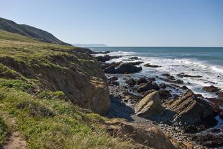 Harmony Headlands State ParkState Park · San Luis Obispo County, CA17 miNW
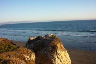 Pismo State BeachState Beach · San Luis Obispo County, CA17 miSE
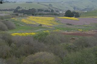 Hearst San Simeon State ParkState Park · San Luis Obispo County, CA25 miNW
Towns near Montaña de Oro State Park
State parks near San Luis Obispo, State parks near Paso Robles, State parks near Santa Maria, State parks near Lompoc
Facts from Wikidata, checked September 25, 2026. Distances are straight-line.