State Park · California
Sugarloaf Ridge State Park
- Location
- Sonoma County, California
- Nearest town
- 3.1 miles northeast of Kenwood
- Type
- State Park
About Sugarloaf Ridge State Park
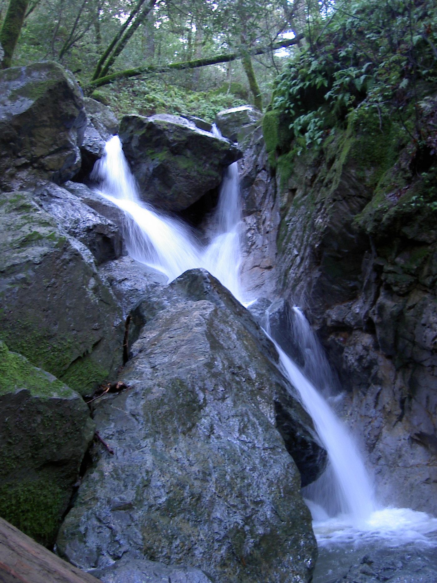
Bald Mountain rises to 2,729 feet within the property, and the headwaters of Sonoma Creek form a seasonal waterfall about 25 feet tall along its slopes. The land straddles the boundary between Sonoma and Napa counties and holds the volunteer-run Robert Ferguson Observatory. Twenty-five miles of trails cross the terrain, ranging from under a mile to 8.8 miles with elevation gains up to 2,500 feet, supporting hiking, horseback riding, mountain biking, fishing and stargazing.
Hours, fees, camping, reservations and closures are set by the park and change often. Check the official park site before you go.
Getting there
Sugarloaf Ridge State Park is in Sonoma County, California, 3.1 miles northeast of Kenwood. The Directions button takes you to the park's mapped location; the entrance may be elsewhere, so check the official site for the address to use.
State parks near Sugarloaf Ridge State Park
Within 60 miles, closest first, straight-line. All 213 in California →
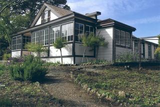 Jack London State Historic ParkState Historic Site · Sonoma County, CA6.6 miS
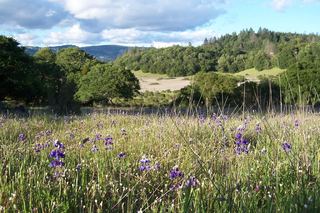 Trione-Annadel State ParkState Park · Sonoma County, CA6.8 miW
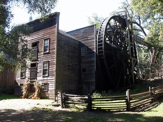 Bale Grist Mill State Historic ParkState Historic Site · Napa County, CA7.0 miN
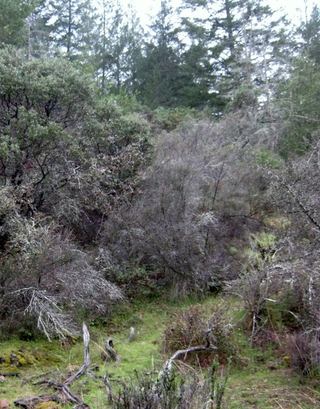 Bothe–Napa Valley State ParkState Park · Napa County, CA7.7 miN
- Sonoma State Historic ParkState Historic Site · Sonoma County, CA10 miS
- Petaluma Adobe State Historic ParkState Historic Site · Sonoma County, CA14 miS
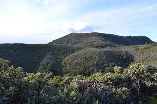 Robert Louis Stevenson State ParkState Park · Napa County, CA16 miN
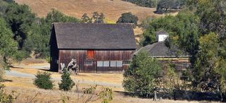 Olompali State Historic ParkState Historic Site · Marin County, CA20 miS
- Marconi Conference Center State Historic ParkState Historic Site · Marin County, CA29 miSW
Towns near Sugarloaf Ridge State Park
State parks near Sonoma, State parks near Santa Rosa, State parks near Vallejo, State parks near Fairfield, State parks near San Rafael, State parks near Clearlake
Facts from Wikidata, checked September 25, 2026. Distances are straight-line.