State Park · California
Robert Louis Stevenson State Park
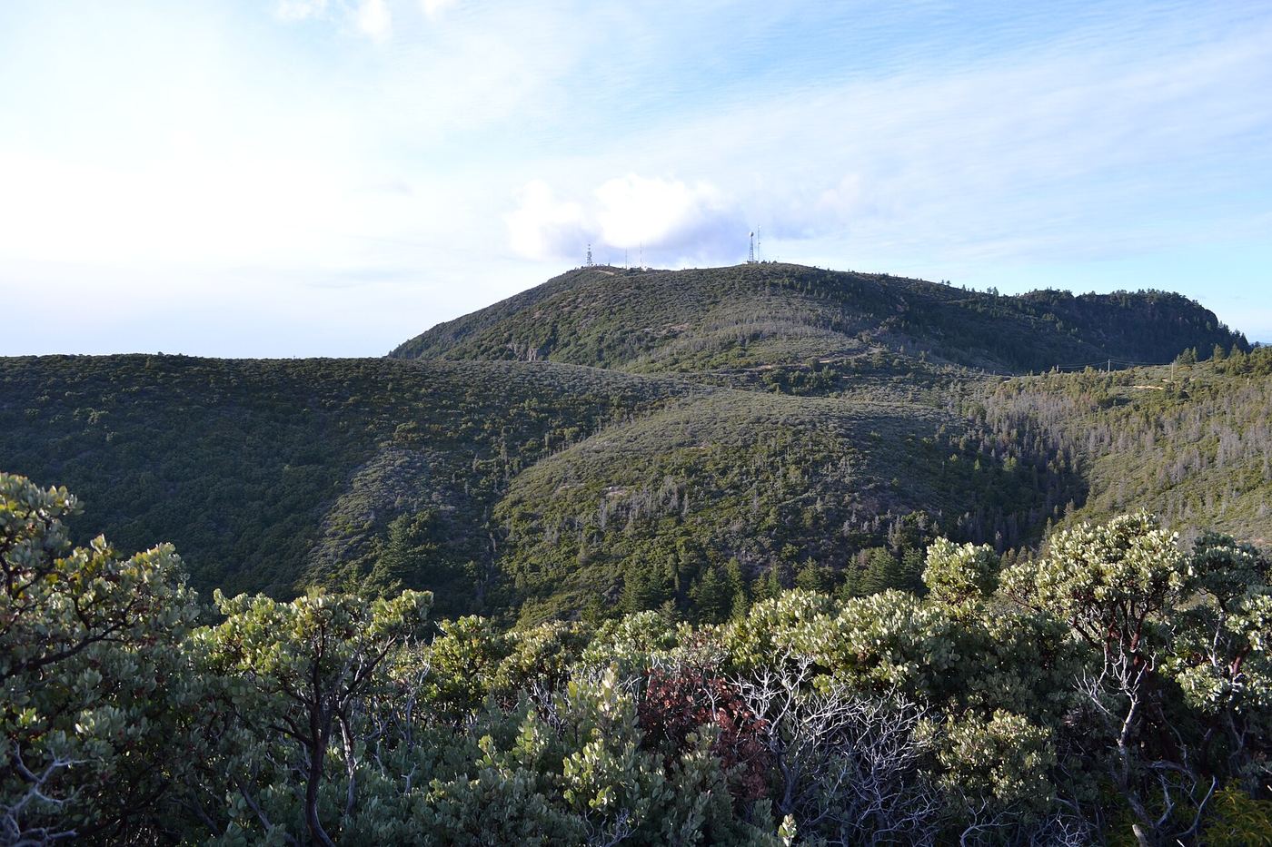
- Location
- Napa County, California
- Nearest town
- 5.3 miles north of Calistoga
- Type
- State Park
About Robert Louis Stevenson State Park
Mount Saint Helena rises to a summit reached by a five-mile hiking trail through this park, spanning land across Sonoma, Lake and Napa counties. From the top, views stretch across much of the Bay Area, and on clear days the peak of Mount Shasta is visible some 192 miles away. The climb is the park's central feature, with the mountain itself giving the park its shape and reach across three counties.
Hours, fees, camping, reservations and closures are set by the park and change often. Check the official park site before you go.
Getting there
Robert Louis Stevenson State Park is in Napa County, California, 5.3 miles north of Calistoga. The Directions button takes you to the park's mapped location; the entrance may be elsewhere, so check the official site for the address to use.
State parks near Robert Louis Stevenson State Park
Within 60 miles, closest first, straight-line. All 213 in California →
 Bothe–Napa Valley State ParkState Park · Napa County, CA8.5 miSE
 Bale Grist Mill State Historic ParkState Historic Site · Napa County, CA9.3 miSE
 Trione-Annadel State ParkState Park · Sonoma County, CA16 miS
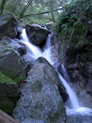 Sugarloaf Ridge State ParkState Park · Sonoma County, CA16 miS
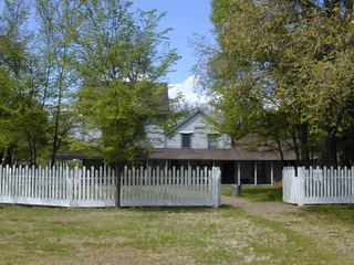 Anderson Marsh State Historic ParkState Historic Site · Lake County, CA19 miN
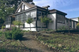 Jack London State Historic ParkState Historic Site · Sonoma County, CA21 miS
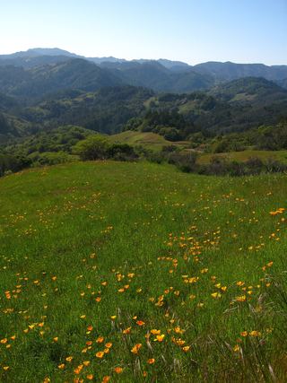 Austin Creek State Recreation AreaState Recreation Area · Sonoma County, CA25 miW
- Sonoma State Historic ParkState Historic Site · Sonoma County, CA26 miS
 Clear Lake State ParkState Park · Lake County, CA27 miNW
Towns near Robert Louis Stevenson State Park
State parks near Santa Rosa, State parks near Clearlake, State parks near Sonoma, State parks near Fairfield, State parks near Vallejo, State parks near Dixon
Facts from Wikidata, checked September 25, 2026. Distances are straight-line.