State Park · Connecticut
Bigelow Hollow State Park
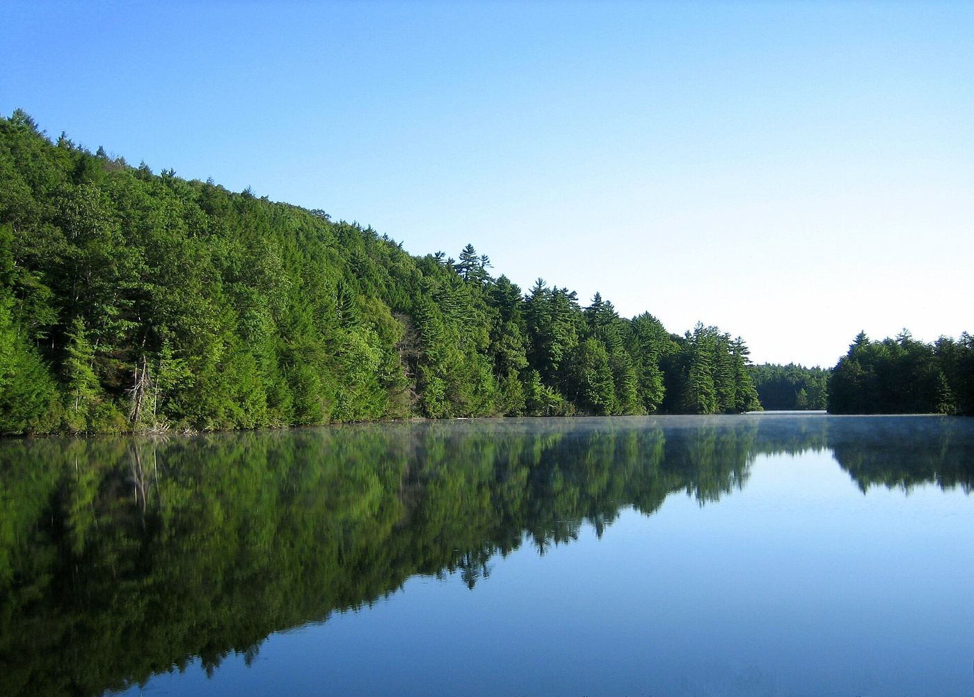
- Location
- Tolland County, Connecticut
- Nearest town
- 8.3 miles east of Stafford
- Type
- State Park
About Bigelow Hollow State Park
A hollow set roughly 700 feet below the surrounding ridgelines gives this park its shape, with 516 acres bordered by Nipmuck State Forest to the east and west and by Mashapaug Lake on the north side. The land sits in the Quinebaug Highlands within the town of Union, and it is managed together with the adjoining state forest by the Connecticut Department of Energy and Environmental Protection.
Hours, fees, camping, reservations and closures are set by the park and change often. Check the official park site before you go.
Getting there
Bigelow Hollow State Park is in Tolland County, Connecticut, 8.3 miles east of Stafford. The Directions button takes you to the park's mapped location; the entrance may be elsewhere, so check the official site for the address to use.
State parks near Bigelow Hollow State Park
Within 60 miles, closest first, straight-line. All 94 in Connecticut →
 Wells State ParkState Park · Worcester County, MA10 miN
 Mashamoquet Brook State ParkState Park · Windham County, CT13 miSE
 Hop River State Park TrailState Park · Tolland County, CT14 miW
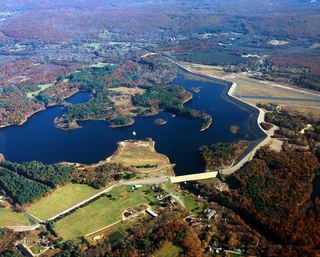 Mansfield Hollow State ParkState Park · Tolland County, CT16 miS
 Quaddick State ParkState Park · Windham County, CT17 miE
- Pulaski State ParkState Park · Providence County, RI18 miE
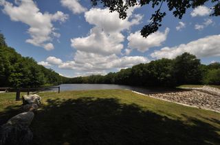 Beaver Brook State ParkState Park · Windham County, CT19 miS
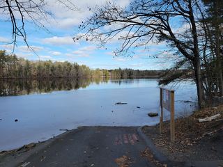 Red Bridge State ParkState Park · Hampden County, MA19 miNW
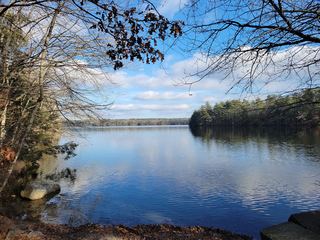 Killingly Pond State ParkState Park · Windham County, CT20 miSE
Towns near Bigelow Hollow State Park
State parks near Southbridge, State parks near Mansfield City, State parks near Worcester, State parks near Springfield, State parks near Uxbridge, State parks near Coventry
Facts from Wikidata, checked September 25, 2026. Distances are straight-line.