State Park · Connecticut
Lovers Leap State Park
- Location
- Litchfield County, Connecticut
- Nearest town
- 2.2 miles south of New Milford
- Type
- State Park
About Lovers Leap State Park
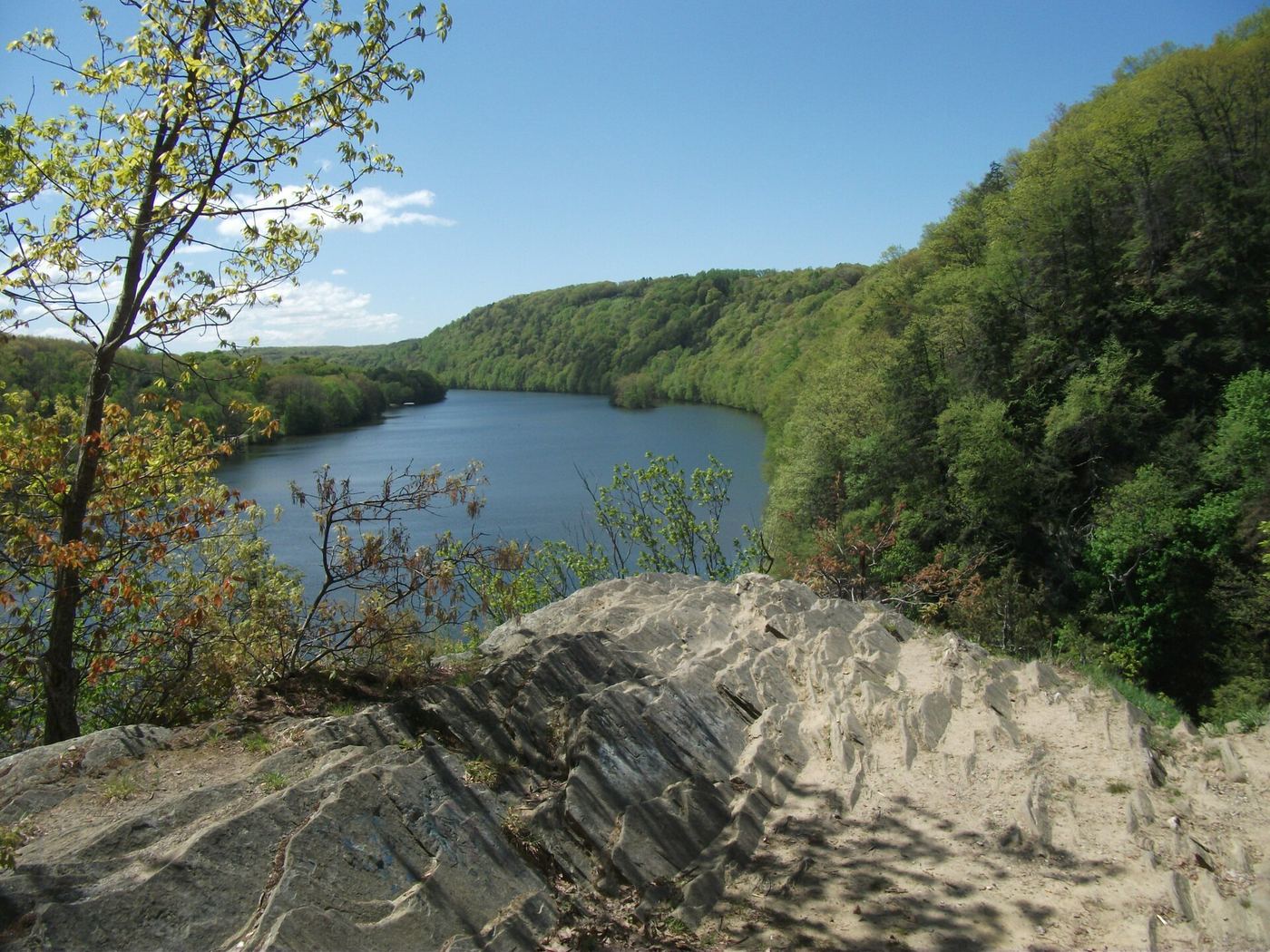
160 acres straddle the Housatonic Gorge, where the Housatonic River cuts through the landscape near the junction of Routes 67 and 202. Trails lead hikers to scenic and historic points within the gorge area. The Connecticut Department of Energy and Environmental Protection manages the grounds.
Hours, fees, camping, reservations and closures are set by the park and change often. Check the official park site before you go.
Getting there
Lovers Leap State Park is in Litchfield County, Connecticut, 2.2 miles south of New Milford. The Directions button takes you to the park's mapped location; the entrance may be elsewhere, so check the official site for the address to use.
State parks near Lovers Leap State Park
Within 60 miles, closest first, straight-line. All 94 in Connecticut →
 Squantz Pond State ParkState Park · Fairfield County, CT4.5 miSW
- George Waldo State ParkState Park · New Haven County, CT8.1 miSE
- Rocky Glen State ParkState Park · Fairfield County, CT10 miSE
 Mount Bushnell State ParkState Park · Litchfield County, CT10 miN
 Lake Waramaug State ParkState Park · Litchfield County, CT11 miN
 Larkin State Park TrailState Park · New Haven County, CT11 miSE
 Mount Tom State ParkState Park · Litchfield County, CT12 miNE
 Above All State ParkState Park · Litchfield County, CT13 miN
- Camp Columbia State Park/State ForestState Park · Litchfield County, CT13 miNE
Towns near Lovers Leap State Park
State parks near Danbury, State parks near Waterbury, State parks near West Torrington, State parks near Jefferson Valley-Yorktown, State parks near Bridgeport, State parks near Poughkeepsie
Facts from Wikidata, checked September 25, 2026. Distances are straight-line.