State Park · Connecticut
Sunnybrook State Park
- Location
- Litchfield County, Connecticut
- Nearest town
- 1.7 miles northeast of West Torrington
- Type
- State Park
About Sunnybrook State Park
464 acres of land in Torrington mark the southwestern end of the blue-blazed John Muir Trail, which runs two miles through Paugnut State Forest to a loop trail at Burr Pond State Park. A separate path within the grounds carries the name of Edwin Fadoir, a former owner of the property. Fishing and hunting are permitted along the East Branch Naugatuck River, which runs through the area, along with picnicking and hiking.
Hours, fees, camping, reservations and closures are set by the park and change often. Check the official park site before you go.
Getting there
Sunnybrook State Park is in Litchfield County, Connecticut, 1.7 miles northeast of West Torrington. The Directions button takes you to the park's mapped location; the entrance may be elsewhere, so check the official site for the address to use.
State parks near Sunnybrook State Park
Within 60 miles, closest first, straight-line. All 94 in Connecticut →
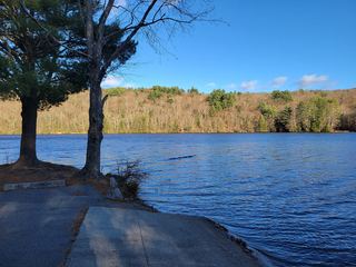 Stillwater Pond State ParkState Park · Litchfield County, CT1.4 miW
 Burr Pond State ParkState Park · Litchfield County, CT2.6 miNE
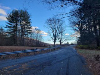 John A. Minetto State ParkState Park · Litchfield County, CT3.7 miNW
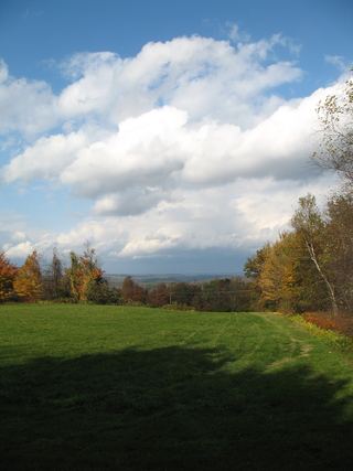 Platt Hill State ParkState Park · Litchfield County, CT4.5 miN
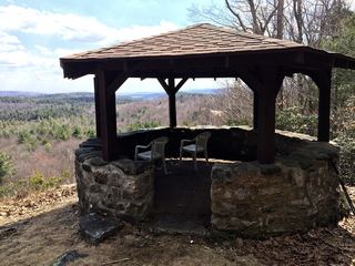 Dennis Hill State ParkState Park · Litchfield County, CT8.8 miNW
 Humaston Brook State ParkState Park · Litchfield County, CT9.2 miS
- Camp Columbia State Park/State ForestState Park · Litchfield County, CT12 miSW
 Black Rock State ParkState Park · Litchfield County, CT13 miS
 Mount Tom State ParkState Park · Litchfield County, CT13 miSW
Towns near Sunnybrook State Park
State parks near West Torrington, State parks near Waterbury, State parks near Hartford, State parks near Springfield, State parks near Danbury, State parks near New Haven
Facts from Wikidata, checked September 25, 2026. Distances are straight-line.