State Park · Idaho
Hells Gate State Park
- Location
- Nez Perce County, Idaho
- Nearest town
- 3.7 miles southwest of Lewiston Orchards
- Type
- State Park
About Hells Gate State Park
The Snake River marks the downstream entrance to Hells Canyon here, the deepest canyon in North America, and jet boat trips run from the park into that canyon. The land was set aside by the U.S. Army Corps of Engineers to offset the Lower Granite Dam's construction, covering 960 acres that include trails for hiking, mountain biking, and horseback riding, plus fishing, boating, and swimming access. At 733 feet above sea level, it sits at the lowest elevation of any Idaho state park.
Hours, fees, camping, reservations and closures are set by the park and change often. Check the official park site before you go.
Getting there
Hells Gate State Park is in Nez Perce County, Idaho, 3.7 miles southwest of Lewiston Orchards. The Directions button takes you to the park's mapped location; the entrance may be elsewhere, so check the official site for the address to use.
State parks near Hells Gate State Park
Within 60 miles, closest first, straight-line. All 24 in Idaho →
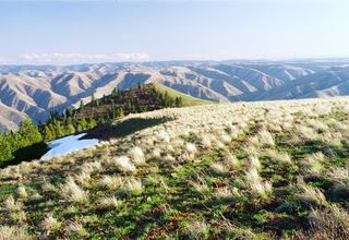 Fields Spring State ParkState Park · Asotin County, WA20 miS
- Winchester Lake State ParkState Park · Lewis County, ID22 miE
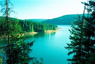 Dworshak State ParkState Park · Clearwater County, ID39 miNE
- Steptoe Butte State ParkState Park · Whitman County, WA48 miN
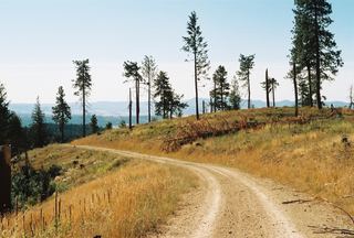 McCroskey State ParkState Park · Latah County, ID49 miN
- Lewis & Clark Trail State ParkState Park · Columbia County, WA49 miW
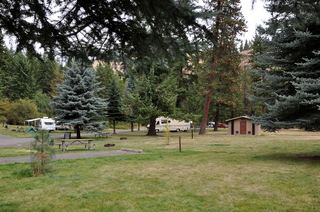 Minam State Recreation AreaState Recreation Area · Wallowa County, OR51 miSW
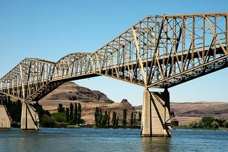 Lyons Ferry State ParkState Park · Whitman County, WA59 miW
Towns near Hells Gate State Park
Facts from Wikidata, checked September 25, 2026. Distances are straight-line.