State Park · Illinois
Matthiessen State Park
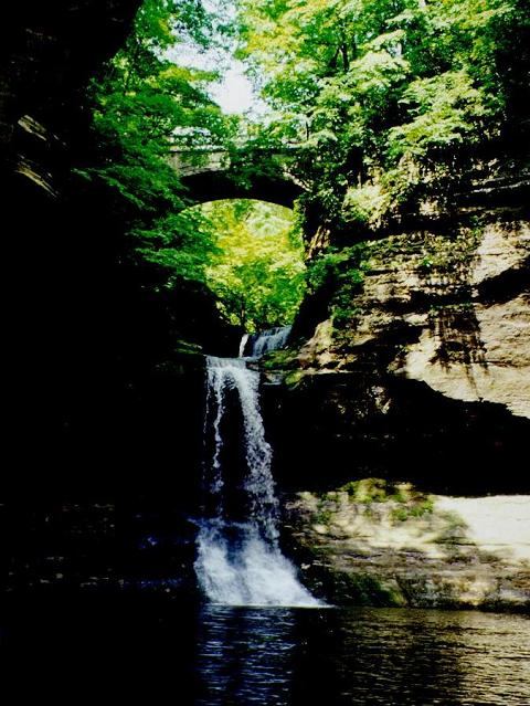
- Location
- LaSalle County, Illinois
- Nearest town
- 0.6 miles east of Deer Park
- Type
- State Park
About Matthiessen State Park
A few miles south of Starved Rock State Park sits this smaller preserve, reached from the same stretch of Illinois State Route 178 that leads to its more visited neighbor. The land shares a road corridor with Starved Rock but keeps its own separate entrance, giving visitors a distinct point of access into the property.
Hours, fees, camping, reservations and closures are set by the park and change often. Check the official park site before you go.
Getting there
Matthiessen State Park is in LaSalle County, Illinois, 0.6 miles east of Deer Park. The Directions button takes you to the park's mapped location; the entrance may be elsewhere, so check the official site for the address to use.
State parks near Matthiessen State Park
Within 60 miles, closest first, straight-line. All 64 in Illinois →
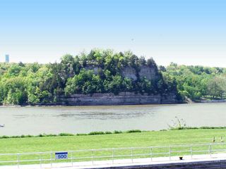 Starved Rock State ParkState Park · LaSalle County, IL2.5 miNE
- Buffalo Rock State ParkState Park · LaSalle County, IL6.4 miE
- Illini State ParkState Park · LaSalle County, IL16 miE
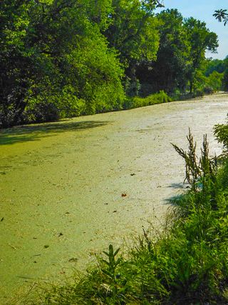 Gebhard Woods State ParkState Park · Grundy County, IL31 miE
- William G. Stratton State ParkState Park · Grundy County, IL32 miE
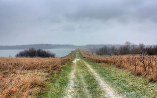 Shabbona Lake State ParkState Park · DeKalb County, IL32 miN
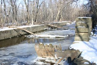 Hennepin Canal Parkway State ParkState Park · Bureau County, IL35 miW
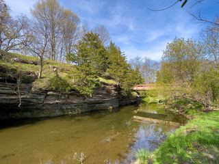 Franklin Creek State Natural AreaState Natural Area · Lee County, IL42 miNW
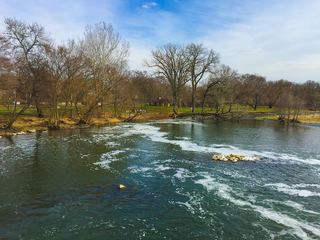 Channahon State ParkState Park · Will County, IL42 miE
Towns near Matthiessen State Park
State parks near Ottawa, State parks near Streator, State parks near Morris, State parks near Pontiac, State parks near Dixon, State parks near DeKalb
Facts from Wikidata, checked September 25, 2026. Distances are straight-line.