State Park · Maryland
Dans Mountain State Park
- Location
- Allegany County, Maryland
- Nearest town
- 1.5 miles east of Lonaconing
- Type
- State Park
About Dans Mountain State Park
Managed by the Maryland Department of Natural Resources, this 482-acre park sits on Dans Mountain, a ridge stretching 16 miles long. The park occupies only a small stretch of that long mountain formation, giving visitors a defined piece of a much larger landform to explore.
Hours, fees, camping, reservations and closures are set by the park and change often. Check the official park site before you go.
Getting there
Dans Mountain State Park is in Allegany County, Maryland, 1.5 miles east of Lonaconing. The Directions button takes you to the park's mapped location; the entrance may be elsewhere, so check the official site for the address to use.
State parks near Dans Mountain State Park
Within 60 miles, closest first, straight-line. All 46 in Maryland →
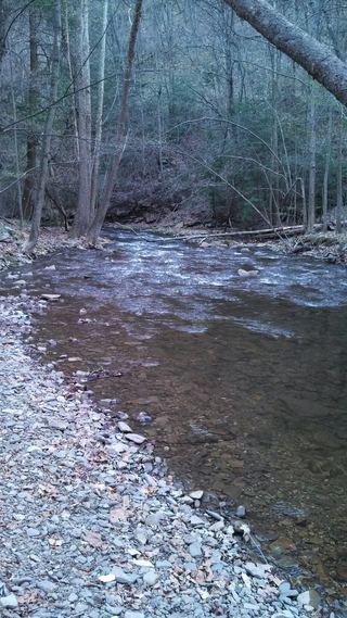 Big Run State ParkState Park · Garrett County, MD9.8 miW
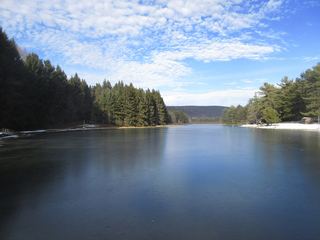 New Germany State ParkState Park · Garrett County, MD10 miNW
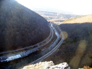 Wills Mountain State ParkState Park · Allegany County, MD13 miNE
- Casselman River Bridge State ParkState Park · Garrett County, MD14 miNW
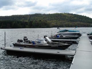 Deep Creek Lake State ParkState Park · Garrett County, MD19 miW
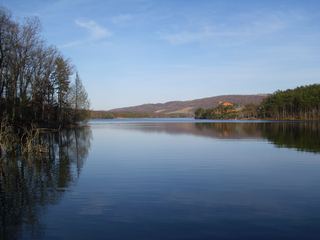 Rocky Gap State ParkState Park · Allegany County, MD20 miNE
- Sang Run State ParkState Park · Garrett County, MD25 miW
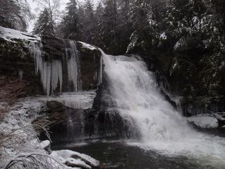 Swallow Falls State ParkState Park · Garrett County, MD26 miW
- Herrington Manor State ParkState Park · Garrett County, MD28 miW
Towns near Dans Mountain State Park
Facts from Wikidata, checked September 25, 2026. Distances are straight-line.