State Park · Maryland
Swallow Falls State Park
- Location
- Garrett County, Maryland
- Nearest town
- 6.2 miles north of Oakland
- Type
- State Park
About Swallow Falls State Park
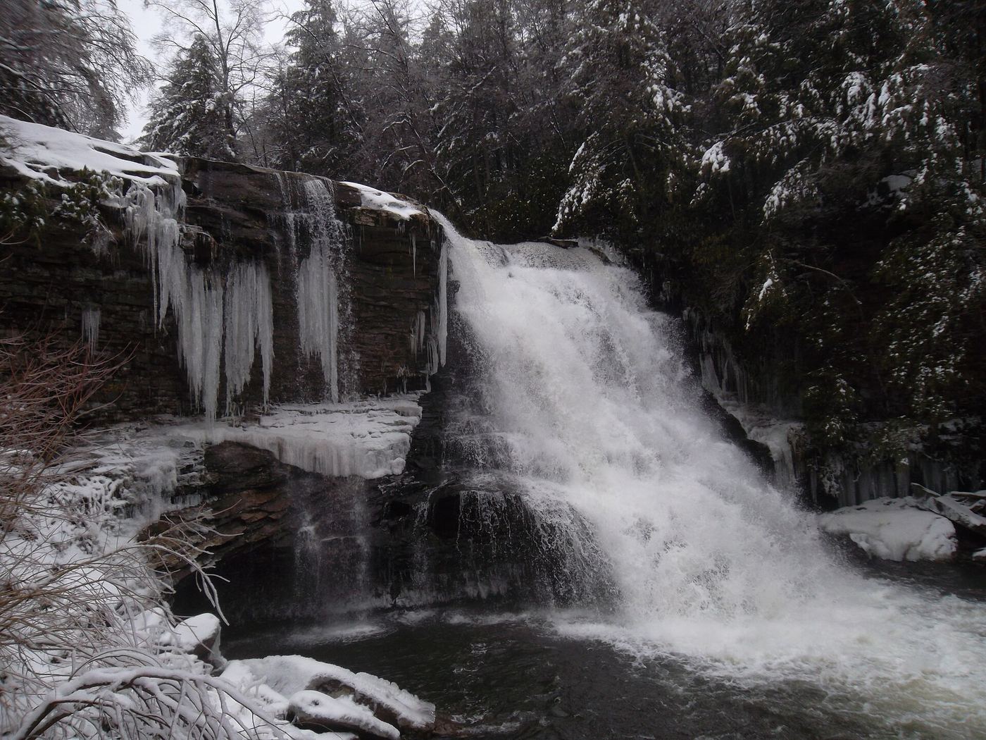
Fifty-three feet is the drop of Muddy Creek Falls, the highest free-falling waterfall in Maryland, found along the Youghiogheny River's west bank. The park also holds smaller falls on the river and on Tolivar Creek. Its stand of hemlock trees includes specimens over 300 years old, described as the last of their kind remaining in the state.
Hours, fees, camping, reservations and closures are set by the park and change often. Check the official park site before you go.
Getting there
Swallow Falls State Park is in Garrett County, Maryland, 6.2 miles north of Oakland. The Directions button takes you to the park's mapped location; the entrance may be elsewhere, so check the official site for the address to use.
State parks near Swallow Falls State Park
Within 60 miles, closest first, straight-line. All 46 in Maryland →
- Herrington Manor State ParkState Park · Garrett County, MD3.3 miSW
- Sang Run State ParkState Park · Garrett County, MD4.9 miN
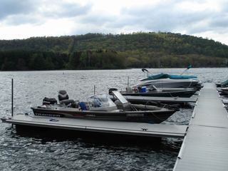 Deep Creek Lake State ParkState Park · Garrett County, MD6.7 miE
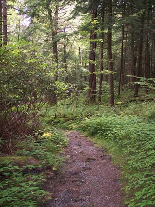 Cathedral State ParkState Park · Preston County, WV13 miSW
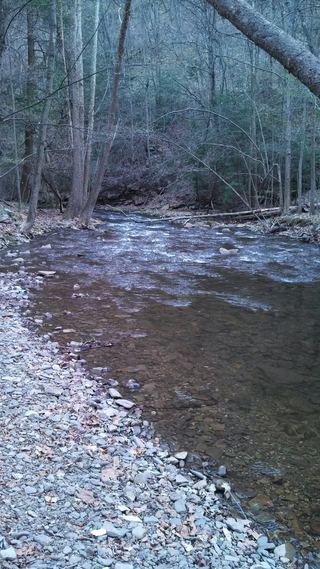 Big Run State ParkState Park · Garrett County, MD16 miE
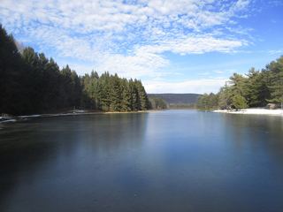 New Germany State ParkState Park · Garrett County, MD19 miNE
- Casselman River Bridge State ParkState Park · Garrett County, MD20 miNE
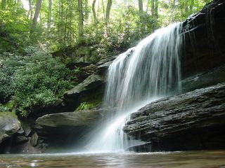 Ohiopyle State ParkState Park · Fayette County, PA24 miN
 Mont Chateau State ParkState Park · Monongalia County, WV25 miNW
Towns near Swallow Falls State Park
Facts from Wikidata, checked September 25, 2026. Distances are straight-line.